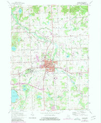
1963 Map of Lapeer
USGS Topo · Published 1980About this map
The South Branch Flint River anchors this detailed survey of the Lapeer area, where the convergence of the Grand Trunk Western and New York Central railroads historically shaped the city's industrial and transport layout. The expansive grounds of the Lapeer State Home and the Lapeer State Game Area dominate the landscape to the south and north, respectively, reflecting the significant state presence in the region during the mid-20th century.
Find a feature on this map
102 named features on this map. Tap any name to fly to it.
Don’t see what you’re looking for? This feature index may not catch every label — zoom into the map to look around manually.
Map Details
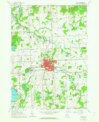
Editions of this 1963 Lapeer Map
2 editions found
Other maps of this area

1943 · Metamora
USGS Topo · 1:24,000

1945 · Thornville
USGS Topo · 1:24,000

1945 · Hadley
USGS Topo · 1:24,000

1946 · Metamora
USGS Topo · 1:24,000

1954 · Detroit
USGS Topo · 1:250,000

1954 · Flint
USGS Topo · 1:250,000

1958 · Flint
USGS Topo · 1:250,000

1961 · Detroit
USGS Topo · 1:250,000

1963 · Attica
USGS Topo · 1:24,000

1963 · North Branch
USGS Topo · 1:24,000