
1965 Map of Laredo West
USGS Topo · Published 1967About this map
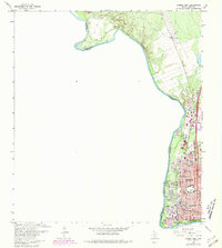
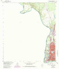
The border city of Laredo sits along the sharp western bend of the Rio Grande, where the international boundary separates the United States from Mexico. This mid-1960s landscape showcases a dense educational and institutional corridor, anchored by the historic grounds of Fort Mc Intosh and the adjacent Laredo Jr College. The urban core is tightly packed with parochial and public facilities such as Santa Maria Ch, St Peters Sch, and Holding Institute, reflecting a community deeply invested in its local infrastructure during this era of growth.
Find a feature on this map
41 named features on this map. Tap any name to fly to it.
Don’t see what you’re looking for? This feature index may not catch every label — zoom into the map to look around manually.
Map Details
Editions of this 1965 Laredo West Map
3 editions found
Other maps of this area

1933 · Becerra Creek
USGS Topo · 1:62,500

1956 · Islitas
USGS Topo · 1:62,500

1956 · Laredo East
USGS Topo · 1:62,500

1956 · Laredo
USGS Topo · 1:250,000

1965 · Orvil
USGS Topo · 1:24,000

1965 · Cuervo Creek
USGS Topo · 1:24,000
1965 · Dolores Ranch
USGS Topo · 1:24,000

1965 · Laredo East
USGS Topo · 1:24,000

1979 · Laredo South
USGS Topo · 1:24,000
1985 · Laredo
USGS Topo · 1:100,000