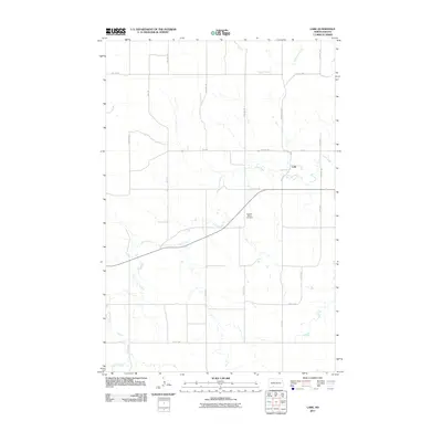
2011 Map of Lark
USGS Topo · Published 2011About this map
Lark stands as a small settlement in the southern North Dakota prairie, characterized by its position along a grid of section-line roads and the winding path of Louise Creek. This 2011 survey illustrates the rural infrastructure of Grant County, where drainage systems like Otter Creek define the geography of the surrounding farmland. A notable site of local heritage is the Pleasant View Cemetery, situated south of the main cluster of buildings at Lark. The landscape is primarily shaped by agriculture and the natural flow of the creeks, with major transport routes like County Hwy 85 and 66th St SW providing the primary connections through this open terrain. The map captures the quiet persistence of these small plains communities and their meticulously maintained burial grounds.
Find a feature on this map
22 named features on this map. Tap any name to fly to it.
Don’t see what you’re looking for? This feature index may not catch every label — zoom into the map to look around manually.
Map Details
Editions of this 2011 Lark Map
This is the sole edition of this map. No revisions or reprints were ever made.
Other maps of this area

1954 · Bismarck
USGS Topo · 1:250,000

1958 · Bismarck
USGS Topo · 1:250,000

1972 · Carson SE
USGS Topo · 1:24,000

1980 · Otter Creek West
USGS Topo · 1:24,000

1980 · Brisbane
USGS Topo · 1:24,000

1980 · Otter Creek East
USGS Topo · 1:24,000

1980 · Crown Butte Creek SE
USGS Topo · 1:24,000

1980 · Lark
USGS Topo · 1:24,000

1980 · Dogtooth Buttes
USGS Topo · 1:24,000

1980 · Raleigh
USGS Topo · 1:24,000