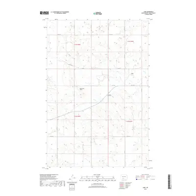
2018 Map of Lark
USGS Topo · Published 2018About this map
Lark sits as the primary settlement in this section of Grant County, a landscape defined by the drainage of Otter Cr and Louise Cr. The terrain is punctuated by the Rattlesnake Buttes, a prominent landform that breaks the prairie horizon. For those researching family history in the area, the Pleasant View Cem is a significant local landmark, situated at a junction near the center of the survey area. The map illustrates a sparse but organized network of rural roads, including 66th St SW and 67th St SW, which trace the section lines typical of the region's agricultural development. The survey emphasizes the isolation of these high plains settlements, where water sources like the creeks were essential to early homesteaders and ranchers.
Find a feature on this map
16 named features on this map. Tap any name to fly to it.
Don’t see what you’re looking for? This feature index may not catch every label — zoom into the map to look around manually.
Map Details
Editions of this 2018 Lark Map
This is the sole edition of this map. No revisions or reprints were ever made.
Other maps of this area

1954 · Bismarck
USGS Topo · 1:250,000

1958 · Bismarck
USGS Topo · 1:250,000

1972 · Carson SE
USGS Topo · 1:24,000

1980 · Otter Creek West
USGS Topo · 1:24,000

1980 · Brisbane
USGS Topo · 1:24,000

1980 · Otter Creek East
USGS Topo · 1:24,000

1980 · Crown Butte Creek SE
USGS Topo · 1:24,000

1980 · Lark
USGS Topo · 1:24,000

1980 · Dogtooth Buttes
USGS Topo · 1:24,000

1980 · Raleigh
USGS Topo · 1:24,000