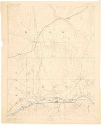
1893 Map of Las Animas
USGS Topo · Published 1900About this map
The confluence of the Arkansas River and the Purgatoire River serves as the focal point for this late nineteenth-century reconnaissance of southeastern Colorado. This area, surveyed during the directorship of J.W. Powell, illustrates a landscape dominated by river-valley settlement and competing rail lines. The Las Animas townsite and nearby Fort Lyon represent the established population centers along the southern corridor, served by the Atchison Topeka and Santa Fe Railroad. To the north, the high plains are traversed by the Missouri Pacific Railroad, connecting isolated stops like Haswell and Arlington. The intricate network of seasonal drainages, including Mustang Creek and Adobe Creek, highlights the importance of water access in the high prairie, where the terrain transitions from the river bottomlands to the arid draws of Kiowa and Bent counties.
Find a feature on this map
19 named features on this map. Tap any name to fly to it.
Don’t see what you’re looking for? This feature index may not catch every label — zoom into the map to look around manually.
Map Details
Editions of this 1893 Las Animas Map
5 editions found

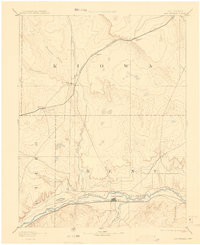
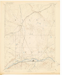
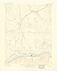
Other maps of this area

1889 · Sanborn
USGS Topo · 1:125,000

1891 · Sanborn
USGS Topo · 1:125,000

1891 · Catlin
USGS Topo · 1:125,000

1891 · Arroyo
USGS Topo · 1:125,000

1891 · Kit Carson
USGS Topo · 1:125,000

1891 · Higbee
USGS Topo · 1:125,000

1891 · Las Animas
USGS Topo · 1:125,000

1891 · Timpas
USGS Topo · 1:125,000

1892 · Lamar
USGS Topo · 1:125,000

1892 · Two Butte
USGS Topo · 1:125,000