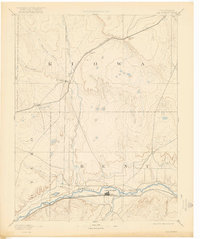
1893 Map of Las Animas
USGS Topo · Published 1922About this map
The confluence of the Arkansas River and the Purgatory River anchor this 1889 survey of southeastern Colorado, showing the primary settlement of Las Animas during a period of rapid railway expansion. The map illustrates the distinct paths of the Atchison Topeka and Santa Fe Railroad hugging the southern river banks, while the Missouri Pacific Railroad cuts across the northern plains through Inman and Haswell. Beyond the river valleys, the landscape is defined by long drainage systems like Mustang Creek, Adobe Creek, and Horse Creek, which reveal the sparse but calculated settlement patterns of the era. To the east of the main town site, the historic military and medical grounds of Fort Lyon stand prominently along the river, marking a transition from frontier outpost to a more established regional center. Small whistle-stops and siding settlements like Arlington and Kilburn trace the early commercial corridors that linked this high-plains region to broader markets.
Find a feature on this map
19 named features on this map. Tap any name to fly to it.
Don’t see what you’re looking for? This feature index may not catch every label — zoom into the map to look around manually.
Map Details
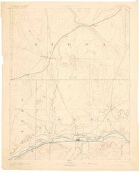
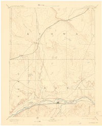
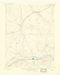
Editions of this 1893 Las Animas Map
5 editions found

Other maps of this area

1889 · Sanborn
USGS Topo · 1:125,000

1891 · Sanborn
USGS Topo · 1:125,000

1891 · Catlin
USGS Topo · 1:125,000

1891 · Arroyo
USGS Topo · 1:125,000

1891 · Kit Carson
USGS Topo · 1:125,000

1891 · Higbee
USGS Topo · 1:125,000

1891 · Las Animas
USGS Topo · 1:125,000

1891 · Timpas
USGS Topo · 1:125,000

1892 · Lamar
USGS Topo · 1:125,000

1892 · Two Butte
USGS Topo · 1:125,000