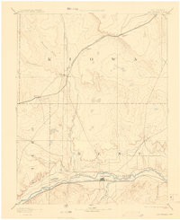
1893 Map of Las Animas
USGS Topo · Published 1908About this map
The Arkansas River corridor serves as the primary artery of development in this late 19th-century survey of southeastern Colorado. This area, spanning portions of Bent, Kiowa, and Otero counties, is defined by the convergence of major transit routes and natural waterways. The southern valley is dominated by the Atchison Topeka and Santa Fe Railroad, connecting the regional hub of Las Animas with Fort Lyon and Robinson. To the north, the Missouri Pacific Railroad cuts across the high plains, facilitating the growth of rail-stop settlements like Arlington, Haswell, and Kilburn. The map captures the reliance of these early settlements on water sources like the Purgatoire River and Adobe Creek, illustrating a landscape where transportation infrastructure was beginning to bridge the gaps between isolated prairie outposts and the established river valley communities.
Find a feature on this map
19 named features on this map. Tap any name to fly to it.
Don’t see what you’re looking for? This feature index may not catch every label — zoom into the map to look around manually.
Map Details
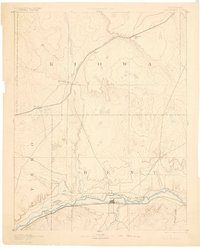
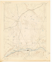
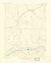
Editions of this 1893 Las Animas Map
5 editions found

Other maps of this area

1889 · Sanborn
USGS Topo · 1:125,000

1891 · Sanborn
USGS Topo · 1:125,000

1891 · Catlin
USGS Topo · 1:125,000

1891 · Arroyo
USGS Topo · 1:125,000

1891 · Kit Carson
USGS Topo · 1:125,000

1891 · Higbee
USGS Topo · 1:125,000

1891 · Las Animas
USGS Topo · 1:125,000

1891 · Timpas
USGS Topo · 1:125,000

1892 · Lamar
USGS Topo · 1:125,000

1892 · Two Butte
USGS Topo · 1:125,000