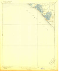
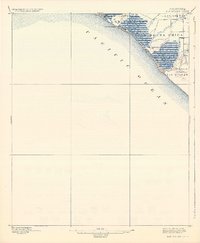
1896 Map of Las Bolsas
USGS Topo · Published 1918About this map
Anaheim Landing sits at the edge of the Pacific, marking a pivotal transition point between the coastal marshlands and the early agricultural developments of Orange County. This late-nineteenth-century landscape is defined by its massive ranchos and complex hydrology, where Anaheim Creek and Bolsas Creek weave through tidal flats. The interior reveals the transition from natural waterways to managed land, evidenced by a prominent Drainage Ditch that suggests the beginning of large-scale reclamation for farming. The map documents the vast land grants of Los Alamitos and Las Bolsas, showing the region before the arrival of modern residential density. Topographical features like Landing Hill provide the few points of elevation in an otherwise low-lying coastal plain, while the namesake settlement of Bolsa Chica occupies the interface between the marshes and the dry inland tracts.
Find a feature on this map
12 named features on this map. Tap any name to fly to it.
Don’t see what you’re looking for? This feature index may not catch every label — zoom into the map to look around manually.
Map Details
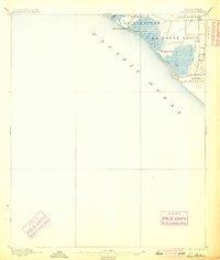
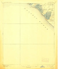
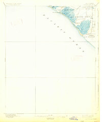
Editions of this 1896 Las Bolsas Map
6 editions found
Other maps of this area

1896 · Santa Ana
USGS Topo · 1:62,500

1896 · Anaheim
USGS Topo · 1:62,500

1896 · Redondo
USGS Topo · 1:62,500

1896 · Las Bolsas
USGS Topo · 1:62,500

1896 · San Pedro
USGS Topo · 1:62,500

1896 · Downey
USGS Topo · 1:62,500

1898 · Anaheim
USGS Topo · 1:62,500

1899 · Downey
USGS Topo · 1:62,500

1901 · Southern California Sheet No. 1
USGS Topo · 1:250,000

1901 · Santa Ana
USGS Topo · 1:62,500