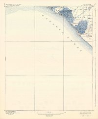
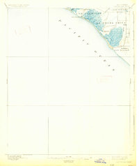
1896 Map of Las Bolsas
USGS Topo · Published 1934About this map
Anaheim Landing serves as a primary coastal landmark on this late nineteenth-century survey, marking the interface between the Pacific and the complex marshlands of the Southern California coast. The landscape is defined by vast tracts of seasonal wetlands and drainage networks, with the Los Alamitos and La Bolsa Chica land grants occupying significant portions of the shoreline. This map captures the region before the extensive modern channelization of local waterways, showing the natural meandering of Anaheim Creek and Bolsas Creek as they met the tide. A solitary high point at Landing Hill overlooks the coast, while interior drainage is beginning to be managed through a series of early ditches. The small settlement at Las Bolsas and the Bolsa Chica area provide a rare view of the rural, marshy character of this coastal segment before the urban expansion of Orange County.
Find a feature on this map
13 named features on this map. Tap any name to fly to it.
Don’t see what you’re looking for? This feature index may not catch every label — zoom into the map to look around manually.
Map Details
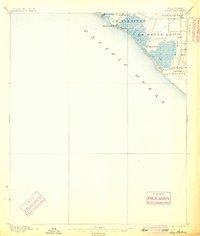
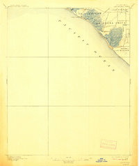
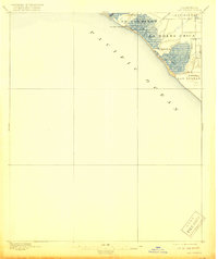
Editions of this 1896 Las Bolsas Map
6 editions found
Other maps of this area

1896 · Santa Ana
USGS Topo · 1:62,500

1896 · Anaheim
USGS Topo · 1:62,500

1896 · Redondo
USGS Topo · 1:62,500

1896 · Las Bolsas
USGS Topo · 1:62,500

1896 · San Pedro
USGS Topo · 1:62,500

1896 · Downey
USGS Topo · 1:62,500

1898 · Anaheim
USGS Topo · 1:62,500

1899 · Downey
USGS Topo · 1:62,500

1901 · Southern California Sheet No. 1
USGS Topo · 1:250,000

1901 · Santa Ana
USGS Topo · 1:62,500