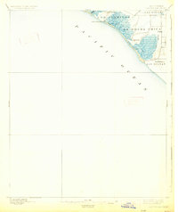
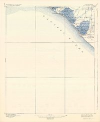
1896 Map of Las Bolsas
USGS Topo · Published 1926About this map
The coastal marshes and early ranch land divisions of the California shoreline are captured here as they appeared in the mid-1890s. This survey focuses on the wetlands and lagoons at Anaheim Landing, where Anaheim Creek meets the Pacific Ocean. The landscape is dominated by the vast drainage networks of Bolsa Chica and Bolsas Creek, reflecting an era when this region was defined by massive land grants like La Bolsa Chica and Las Bolsas. The transition from natural estuary to managed landscape is already visible through the presence of an early ditch and drainage system cutting through the marshlands.
Find a feature on this map
13 named features on this map. Tap any name to fly to it.
Don’t see what you’re looking for? This feature index may not catch every label — zoom into the map to look around manually.
Map Details
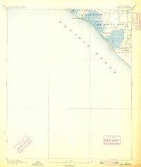
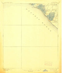
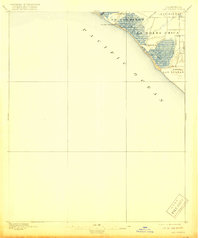
Editions of this 1896 Las Bolsas Map
6 editions found
Other maps of this area

1896 · Santa Ana
USGS Topo · 1:62,500

1896 · Anaheim
USGS Topo · 1:62,500

1896 · Redondo
USGS Topo · 1:62,500

1896 · Las Bolsas
USGS Topo · 1:62,500

1896 · San Pedro
USGS Topo · 1:62,500

1896 · Downey
USGS Topo · 1:62,500

1898 · Anaheim
USGS Topo · 1:62,500

1899 · Downey
USGS Topo · 1:62,500

1901 · Southern California Sheet No. 1
USGS Topo · 1:250,000

1901 · Santa Ana
USGS Topo · 1:62,500