
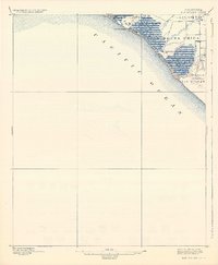
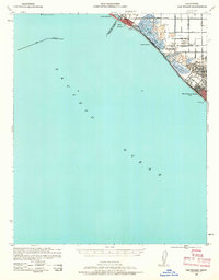
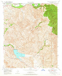
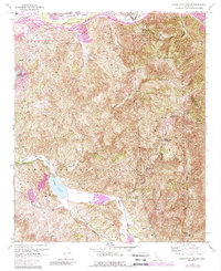
1943 Map of Las Bolsas
USGS Topo · Published 1943About this map
Seal Beach and Huntington Beach anchor the coastline of this wartime survey, showing the Orange County shoreline before the post-war housing boom. The landscape is dominated by the extensive wetlands of Bolsa Chica and a network of water management features including the Las Bolsas Ditch and Bolsa Ditch. These marshlands were then occupied by private sporting estates such as the Sunset Gun Club and the Bolsa Chica Gun Club, highlighting the area's transition from wildlife habitat to managed recreation.
Find a feature on this map
24 named features on this map. Tap any name to fly to it.
Don’t see what you’re looking for? This feature index may not catch every label — zoom into the map to look around manually.
Map Details
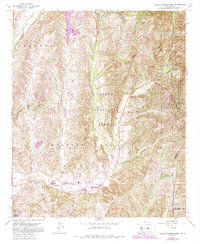
Editions of this 1943 Las Bolsas Map
This is the sole edition of this map. No revisions or reprints were ever made.
Historical Maps of Los Angeles Through Time
32 maps found
1896 Las Bolsas
Orange County, CA
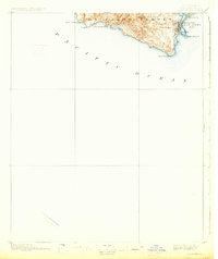
1896 San Pedro
Orange County, CA
1902 Capistrano
Orange County, CA

1906 Capistrano
Orange County, CA
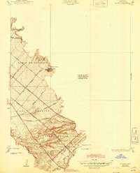
1935 El Toro
Orange County, CA

1935 Olinda
Orange County, CA
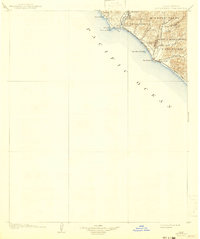
1941 Las Bolsas
Orange County, CA
1942 Santiago Peak
Orange County, CA
1943 Las Bolsas
Orange County, CA
1944 San Pedro
Orange County, CA
1948 Canada Gobernadora
Orange County, CA
1949 Black Star Canyon
Orange County, CA
1949 Canada Gobernadora
Orange County, CA
1949 El Toro
Orange County, CA

1950 Black Star Canyon
Orange County, CA

1950 El Toro
Orange County, CA
1954 Santiago Peak
Orange County, CA
1967 Black Star Canyon
Orange County, CA
1968 Canada Gobernadora
Orange County, CA
1968 El Toro
Orange County, CA

1974 Black Star Canyon
Orange County, CA

1974 Canada Gobernadora
Orange County, CA

1974 El Toro
Orange County, CA

1974 Santiago Peak
Orange County, CA
1997 Black Star Canyon
Orange County, CA

1997 Canada Gobernadora
Orange County, CA

1997 El Toro
Orange County, CA
1997 Santiago Peak
Orange County, CA
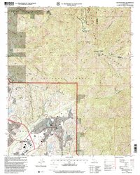
2021 Newport Beach OE S
Orange County, CA
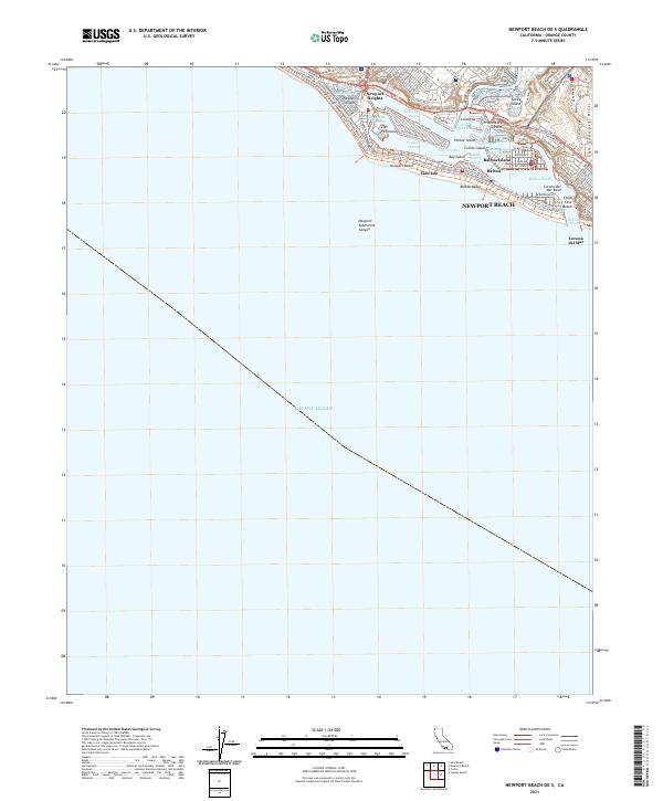
2022 Black Star Canyon
Orange County, CA
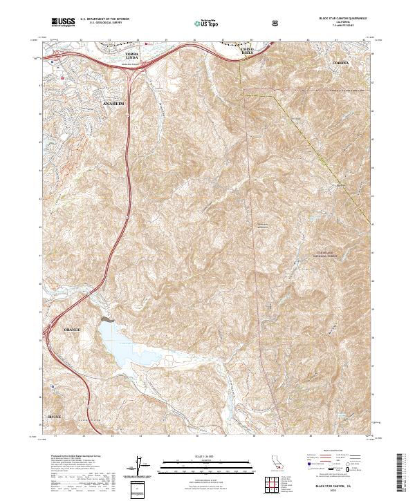
2022 Canada Gobernadora
Orange County, CA
2022 Santiago Peak
Orange County, CA