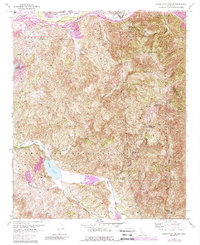
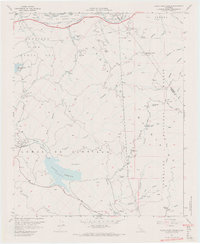
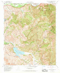
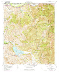
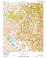
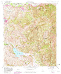
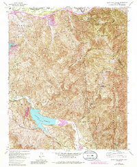
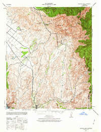
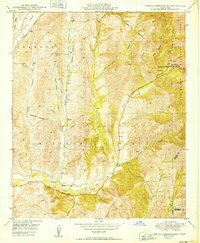
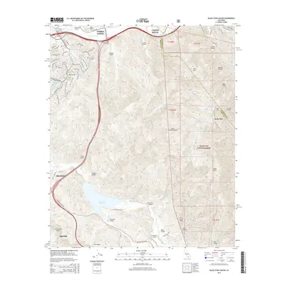
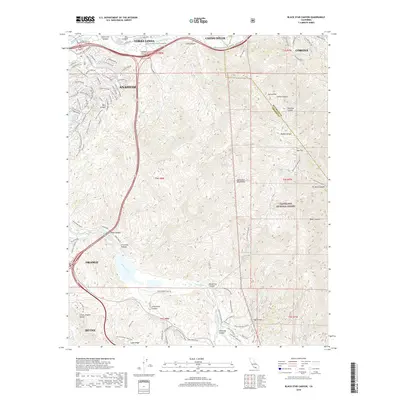
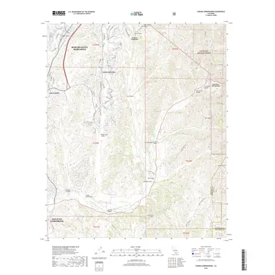
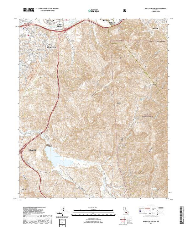
1967 Map of Black Star Canyon
USGS Topo · Published 1988About this map
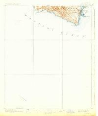
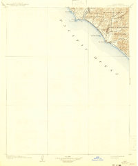
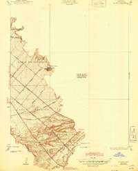
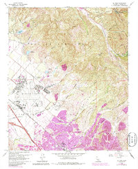
Industrial activity and protected landscapes meet in the Santa Ana Mountains as documented in this late-1960s survey with late-1980s revisions. The map details the extraction history of the region, specifically marking the Santiago Coal Mine and Black Star Coal Mine, along with the Claymont Clay Mine further north. These operations are situated among the deep drainages of Black Star Canyon and Fremont Canyon, which feed toward the Santiago Reservoir.
Find a feature on this map
42 named features on this map. Tap any name to fly to it.
Don’t see what you’re looking for? This feature index may not catch every label — zoom into the map to look around manually.
Map Details
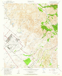
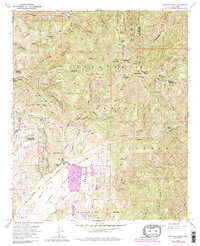
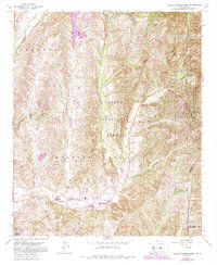
Editions of this 1967 Black Star Canyon Map
7 editions found
Historical Maps of Anaheim Through Time
44 maps found
1896 Las Bolsas
Orange County, CA
1896 San Pedro
Orange County, CA
1902 Capistrano
Orange County, CA

1906 Capistrano
Orange County, CA
1935 El Toro
Orange County, CA

1935 Olinda
Orange County, CA
1941 Las Bolsas
Orange County, CA
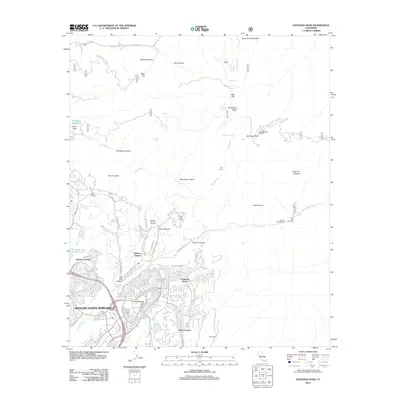
1942 Santiago Peak
Orange County, CA

1943 Las Bolsas
Orange County, CA
1944 San Pedro
Orange County, CA
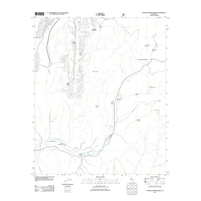
1948 Canada Gobernadora
Orange County, CA
1949 Black Star Canyon
Orange County, CA
1949 Canada Gobernadora
Orange County, CA
1949 El Toro
Orange County, CA

1950 Black Star Canyon
Orange County, CA

1950 El Toro
Orange County, CA
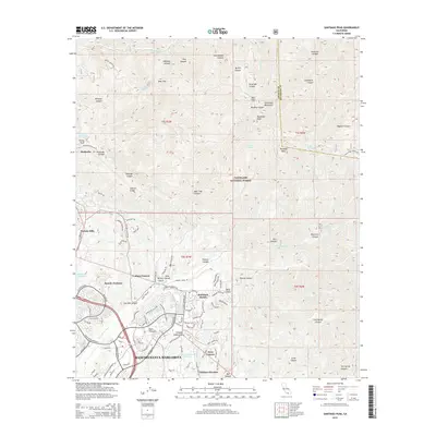
1954 Santiago Peak
Orange County, CA
1967 Black Star Canyon
Orange County, CA
1968 Canada Gobernadora
Orange County, CA
1968 El Toro
Orange County, CA

1974 Black Star Canyon
Orange County, CA

1974 Canada Gobernadora
Orange County, CA

1974 El Toro
Orange County, CA

1974 Santiago Peak
Orange County, CA
1997 Black Star Canyon
Orange County, CA

1997 Canada Gobernadora
Orange County, CA

1997 El Toro
Orange County, CA
1997 Santiago Peak
Orange County, CA
2012 Black Star Canyon
Orange County, CA
2012 Canada Gobernadora
Orange County, CA
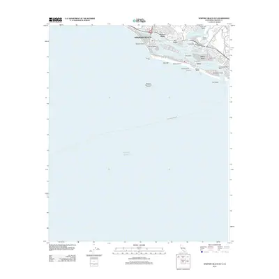
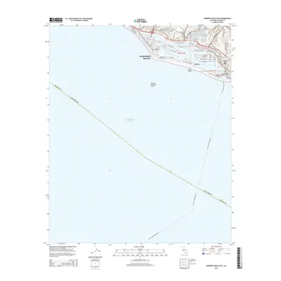
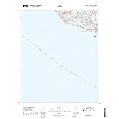
2012 Newport Beach OE S
Orange County, CA
2012 Santiago Peak
Orange County, CA
2015 Black Star Canyon
Orange County, CA
2015 Canada Gobernadora
Orange County, CA
2015 Newport Beach OE S
Orange County, CA
2015 Santiago Peak
Orange County, CA
2018 Black Star Canyon
Orange County, CA
2018 Canada Gobernadora
Orange County, CA
2018 Newport Beach OE S
Orange County, CA
2018 Santiago Peak
Orange County, CA
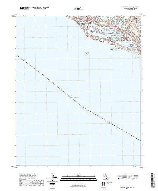
2021 Newport Beach OE S
Orange County, CA
2022 Black Star Canyon
Orange County, CA
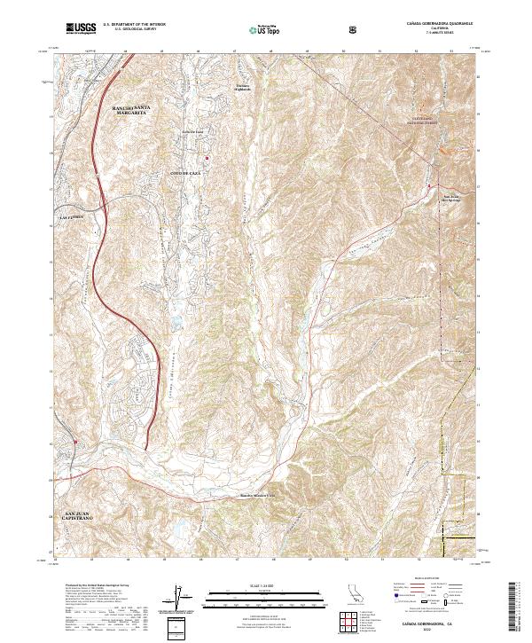
2022 Canada Gobernadora
Orange County, CA
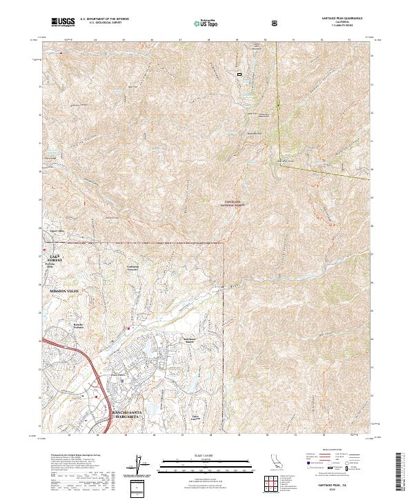
2022 Santiago Peak
Orange County, CA