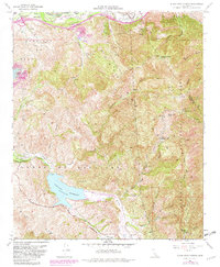
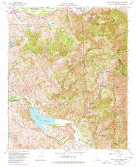
1967 Map of Black Star Canyon
USGS Topo · Published 1982About this map
Sierra Peak dominates the northern reaches of the Santa Ana Mountains, marking the rugged divide where Orange and Riverside counties meet. This terrain, captured in 1967 and updated with 1978 aerial revisions, reveals a landscape defined by deep canyons and the engineering of the Santiago Reservoir. The map documents a significant history of resource extraction, noting the Santiago Coal Mine, Black Star Coal Mine, and Claymont Clay Mine, which reflect the region's industrial past. Evidence of early habitation and high-country outposts can be seen at Beeks Place and Hidden Ranch. Along the northern border, the Santa Ana River flows parallel to the Riverside Freeway, signaling the encroachment of urban development from Anaheim and Yorba Linda into the foothills of the Cleveland National Forest.
Find a feature on this map
41 named features on this map. Tap any name to fly to it.
Don’t see what you’re looking for? This feature index may not catch every label — zoom into the map to look around manually.
Map Details
Editions of this 1967 Black Star Canyon Map
7 editions found
Other maps of this area

1896 · Santa Ana
USGS Topo · 1:62,500

1896 · Anaheim
USGS Topo · 1:62,500

1898 · Anaheim
USGS Topo · 1:62,500

1901 · Southern California Sheet No. 1
USGS Topo · 1:250,000

1901 · Santa Ana
USGS Topo · 1:62,500

1901 · Anaheim
USGS Topo · 1:62,500

1902 · Corona
USGS Topo · 1:125,000

1904 · Southern California Sheet No. 1
USGS Topo · 1:250,000

1932 · Orange
USGS Topo · 1:31,680

1932 · Tustin
USGS Topo · 1:31,680