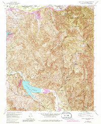
1967 Map of Black Star Canyon
USGS Topo · Published 1984About this map
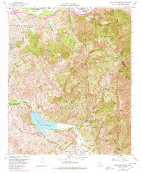
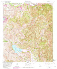
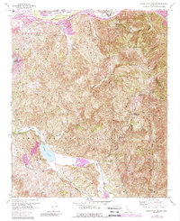
Santiago Reservoir and its surrounding canyons reveal a landscape of deep resource extraction and mid-century technical development along the Orange and Riverside county line. During the 1960s, this portion of the Cleveland National Forest supported various industrial operations, including the Santiago Coal Mine and Black Star Coal Mine, alongside the unique Rocket Fuel Test Site tucked into Gypsum Canyon. The map details the transition from the lowlands of Irvine Park to the high elevations of the Santiago Mountains, culminating at Sierra Peak. Long-standing local landmarks like Beeks Place and Hidden Ranch are situated along the Main Divide Road, providing critical reference points for genealogists and local historians tracking early settlement and ranching boundaries in these canyons.
Find a feature on this map
41 named features on this map. Tap any name to fly to it.
Don’t see what you’re looking for? This feature index may not catch every label — zoom into the map to look around manually.
Map Details
Editions of this 1967 Black Star Canyon Map
7 editions found
Other maps of this area

1896 · Santa Ana
USGS Topo · 1:62,500

1896 · Anaheim
USGS Topo · 1:62,500

1898 · Anaheim
USGS Topo · 1:62,500

1901 · Southern California Sheet No. 1
USGS Topo · 1:250,000

1901 · Santa Ana
USGS Topo · 1:62,500

1901 · Anaheim
USGS Topo · 1:62,500

1902 · Corona
USGS Topo · 1:125,000

1904 · Southern California Sheet No. 1
USGS Topo · 1:250,000

1932 · Orange
USGS Topo · 1:31,680

1932 · Tustin
USGS Topo · 1:31,680