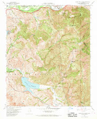
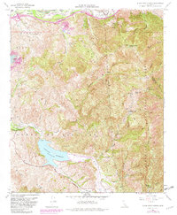
1967 Map of Black Star Canyon
USGS Topo · Published 1969About this map
The Santa Ana Mountains dominate this 1967 landscape, revealing a complex transition from early industrial extraction to late-century conservation and technology. Within the canyons of the Cleveland National Forest, the map records specific vestiges of the region's mining heritage, such as the Santiago Coal Mine and the Black Star Coal Mine. The presence of the Rocket Fuel Test Site tucked into Gypsum Canyon reflects the era's aerospace and defense expansion, while the Claymont Clay Mine suggests the continued value of the local geology.
Find a feature on this map
40 named features on this map. Tap any name to fly to it.
Don’t see what you’re looking for? This feature index may not catch every label — zoom into the map to look around manually.
Map Details
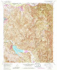
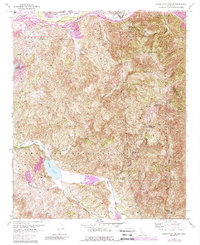
Editions of this 1967 Black Star Canyon Map
7 editions found
Other maps of this area

1896 · Santa Ana
USGS Topo · 1:62,500

1896 · Anaheim
USGS Topo · 1:62,500

1898 · Anaheim
USGS Topo · 1:62,500

1901 · Southern California Sheet No. 1
USGS Topo · 1:250,000

1901 · Santa Ana
USGS Topo · 1:62,500

1901 · Anaheim
USGS Topo · 1:62,500

1902 · Corona
USGS Topo · 1:125,000

1904 · Southern California Sheet No. 1
USGS Topo · 1:250,000

1932 · Orange
USGS Topo · 1:31,680

1932 · Tustin
USGS Topo · 1:31,680