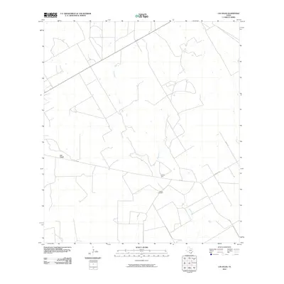
2010 Map of Las Vegas
USGS Topo · Published 2010About this map
Las Vegas and its surrounding ranch lands appear here in the early twenty-first century, defined by a network of drainage systems and isolated roadways. The drainage of Espio Creek and Elm Creek carves through the terrain, illustrating the semi-arid landscape characteristic of Dimmit County. A significant water management feature, the Vesper Lake Dam, sits along the path of Skull Creek, indicating the region's reliance on localized water storage for agriculture and livestock. The map also traces a transition of jurisdiction at the County Line, while rural life is anchored by family-named landmarks such as the Johnson Rch. Local transportation is facilitated by FM 468 and secondary paths like Jasper Rd, which connect the settlement of Las Vegas to the broader South Texas interior.
Find a feature on this map
10 named features on this map. Tap any name to fly to it.
Don’t see what you’re looking for? This feature index may not catch every label — zoom into the map to look around manually.
Map Details
Editions of this 2010 Las Vegas Map
This is the sole edition of this map. No revisions or reprints were ever made.
Other maps of this area

1925 · San Roque Lake 1-a
USGS Topo · 1:48,000

1927 · Bart
USGS Topo · 1:62,500

1929 · Cotulla
USGS Topo · 1:125,000

1932 · Valley Wells
USGS Topo · 1:62,500

1939 · Big Wells
USGS Topo · 1:62,500

1940 · Catarina
USGS Topo · 1:62,500

1940 · Artesia Wells
USGS Topo · 1:62,500

1953 · Crystal City
USGS Topo · 1:250,000

1955 · Crystal City
USGS Topo · 1:250,000

1956 · Woodward
USGS Topo · 1:62,500