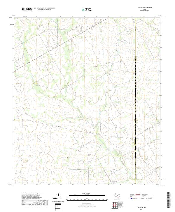
2022 Map of Las Vegas
USGS Topo · Published 2022About this map
Espio Cr and Skull Cr define the drainage patterns of this South Texas brush country landscape, which sits along the boundary of Dimmit and La Salle Counties. The map reflects a region dominated by ranching and rural infrastructure, characterized by long, straight stretches of Ranch Rd 468 and Fm 468. The presence of the Johnson Rch serves as a primary landmark in an otherwise sparsely populated area. Watercourses like Elm Cr provide the few topographic variations in the terrain, while local thoroughfares such as Harvey Smith Rd and Jasper Rd connect the isolated ranching outposts. This topographic study captures the quiet character of the borderlands where large landholdings and seasonal creek beds shape the human and natural geography.
Find a feature on this map
10 named features on this map. Tap any name to fly to it.
Don’t see what you’re looking for? This feature index may not catch every label — zoom into the map to look around manually.
Map Details
Editions of this 2022 Las Vegas Map
This is the sole edition of this map. No revisions or reprints were ever made.
Other maps of this area

1925 · San Roque Lake 1-a
USGS Topo · 1:48,000

1927 · Bart
USGS Topo · 1:62,500

1929 · Cotulla
USGS Topo · 1:125,000

1932 · Valley Wells
USGS Topo · 1:62,500

1939 · Big Wells
USGS Topo · 1:62,500

1940 · Catarina
USGS Topo · 1:62,500

1940 · Artesia Wells
USGS Topo · 1:62,500

1953 · Crystal City
USGS Topo · 1:250,000

1955 · Crystal City
USGS Topo · 1:250,000

1956 · Woodward
USGS Topo · 1:62,500