
1893 Map of Las Vegas
USGS Topo · Published 1893About this map
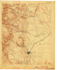
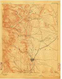
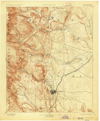
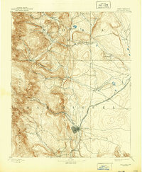
Las Vegas serves as the primary hub of this late-nineteenth-century landscape, where the Atchison Topeka and Santa Fe Railroad enters from the plains to the east. The terrain transitions from the open stretches of San Miguel and Mora counties into the foothills and peaks of the Sangre de Cristo Mountains, represented by Solitario Pk and Tecolote Mtn. This period captures a network of Spanish-American settlements and agrarian communities such as La Cueva and San Geronimo that predates the modern highway system, with travel routes still tethered closely to river valleys.
Find a feature on this map
36 named features on this map. Tap any name to fly to it.
Don’t see what you’re looking for? This feature index may not catch every label — zoom into the map to look around manually.
Map Details
Editions of this 1893 Las Vegas Map
5 editions found
Other maps of this area

1889 · Las Vegas
USGS Topo · 1:125,000

1889 · Santa Fe
USGS Topo · 1:125,000

1890 · Bernal
USGS Topo · 1:125,000

1891 · Bernal
USGS Topo · 1:125,000

1891 · Las Vegas
USGS Topo · 1:125,000

1892 · Watrous
USGS Topo · 1:125,000

1892 · Corazon
USGS Topo · 1:125,000

1894 · Corazon
USGS Topo · 1:125,000

1894 · Watrous
USGS Topo · 1:125,000

1894 · Santa Fe
USGS Topo · 1:125,000