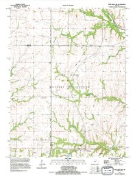
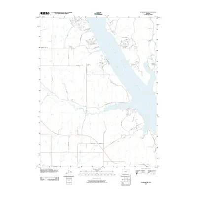
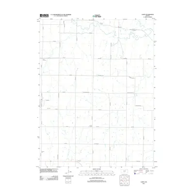
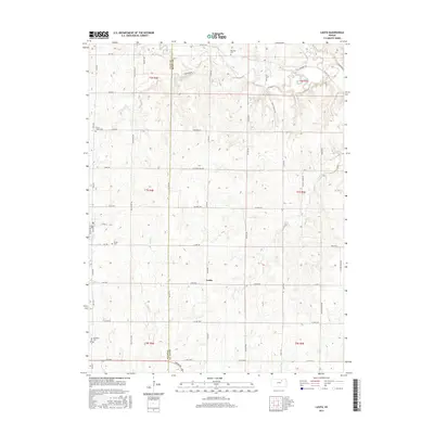
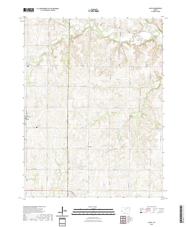
1963 Map of Lasita
USGS Topo · Published 1983About this map
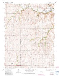
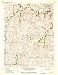
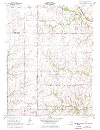
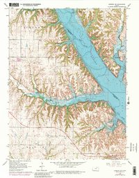
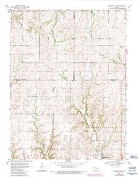
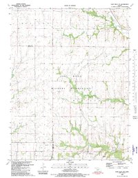
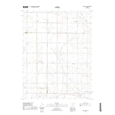
West Fancy Creek and its many tributaries, including Otter Creek and Mall Creek, carve through the rolling terrain of northern Riley County in this early 1960s study. The map illustrates a rural landscape transitioning toward modernized water management, centered on the northeastern reaches of Tuttle Creek Lake. Small farming communities like Green and Lasita serve as local anchors, connected by a network of section roads that bypass the now-defunct Old Railroad Grade. This transport shift from rail to road is mirrored by the preservation of traditional community centers, evidenced by numerous country schools such as Pleasant Hill Sch and Fairview Sch. Geologic utility is noted at a small Quarry near May Day Spring, while genealogy is well-preserved through multiple burial sites including Fancy Creek Cem and Ebenezer Cem.
Find a feature on this map
22 named features on this map. Tap any name to fly to it.
Don’t see what you’re looking for? This feature index may not catch every label — zoom into the map to look around manually.
Map Details
Editions of this 1963 Lasita Map
2 editions found
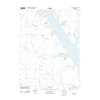
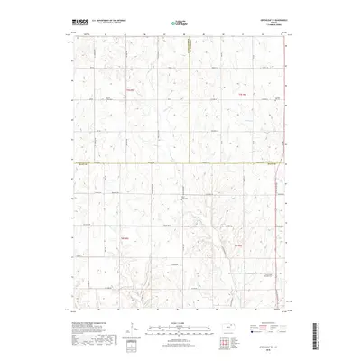
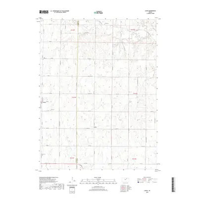
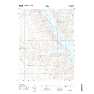
Historical Maps of Green Through Time
33 maps found
1951 Wind Creek
Riley County, KS
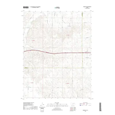
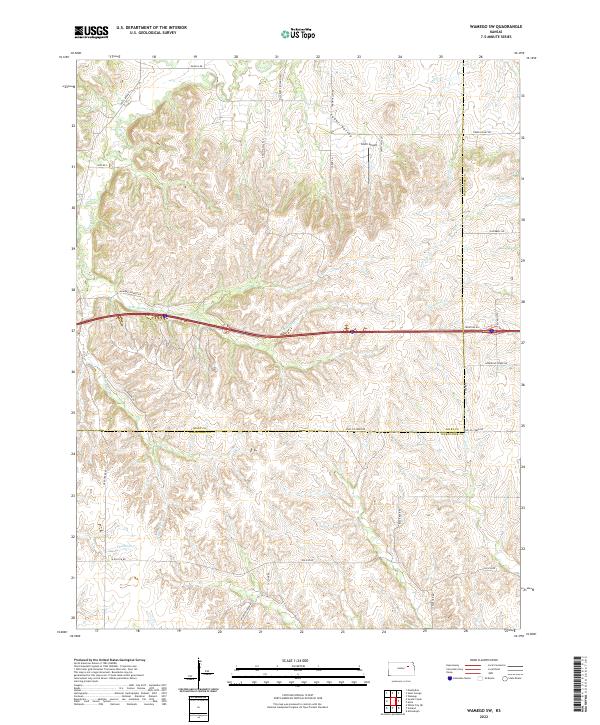
1953 Wamego SW
Riley County, KS
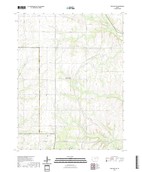
1955 Fort Riley NE
Riley County, KS
1963 Lasita
Riley County, KS
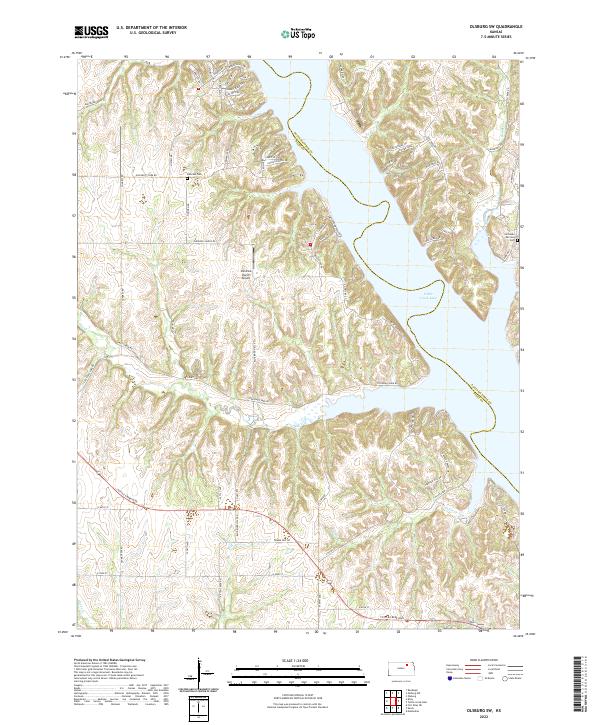
1964 Olsburg SW
Riley County, KS
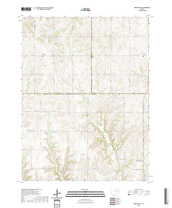
1968 Greenleaf SE
Riley County, KS
1982 Fort Riley NE
Riley County, KS
1992 Fort Riley NE
Riley County, KS
2009 Fort Riley NE
Riley County, KS
2009 Greenleaf SE
Riley County, KS
2009 Lasita
Riley County, KS
2009 Olsburg SW
Riley County, KS
2009 Wamego SW
Riley County, KS
2012 Fort Riley NE
Riley County, KS
2012 Greenleaf SE
Riley County, KS
2012 Lasita
Riley County, KS
2012 Olsburg SW
Riley County, KS
2012 Wamego SW
Riley County, KS
2015 Greenleaf SE
Riley County, KS
2015 Lasita
Riley County, KS
2015 Olsburg SW
Riley County, KS
2015 Wamego SW
Riley County, KS
2016 Fort Riley NE
Riley County, KS
2018 Fort Riley NE
Riley County, KS
2018 Greenleaf SE
Riley County, KS
2018 Lasita
Riley County, KS
2018 Olsburg SW
Riley County, KS
2018 Wamego SW
Riley County, KS
2022 Fort Riley NE
Riley County, KS
2022 Greenleaf SE
Riley County, KS
2022 Lasita
Riley County, KS
2022 Olsburg SW
Riley County, KS
2022 Wamego SW
Riley County, KS