
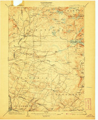
1903 Map of Lassellsville
USGS Topo · Published 1903This historical map portrays the area of Lassellsville in 1903, primarily covering Fulton County as well as portions of Hamilton County, Herkimer County, and Montgomery County. Featuring a scale of 1:62500, this map provides a highly detailed snapshot of the terrain, roads, buildings, counties, and historical landmarks in the Lassellsville region at the time. Published in 1903, it is one of 6 known editions of this map due to revisions or reprints.
Find a feature on this map
105 named features on this map. Tap any name to fly to it.
Don’t see what you’re looking for? This feature index may not catch every label — zoom into the map to look around manually.
Map Details
Editions of this 1903 Lassellsville Map
6 editions found
Historical Maps of Ephratah Through Time
24 maps found

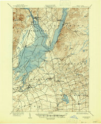
1899 Broadalbin
Fulton County, NY

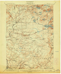
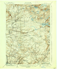
1901 Lassellsville
Fulton County, NY
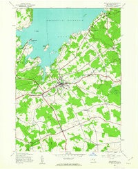
1902 Broadalbin
Fulton County, NY
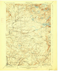
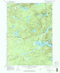
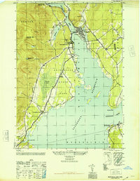
1903 Lassellsville
Fulton County, NY
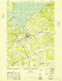
1945 Broadalbin
Fulton County, NY
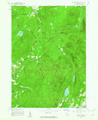
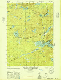
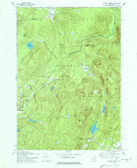
1945 Canada Lake
Fulton County, NY
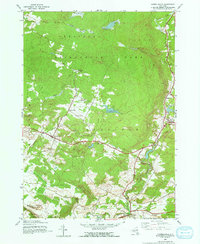
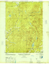
1945 Jackson Summit
Fulton County, NY

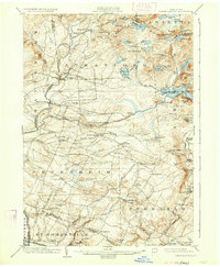
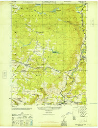
1945 Lassellsville
Fulton County, NY
1945 Lassellsville
Fulton County, NY

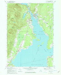
1945 Northville
Fulton County, NY
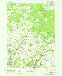
1945 Oppenheim
Fulton County, NY
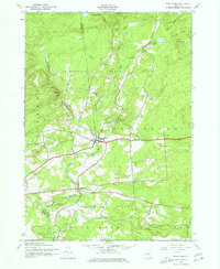
1945 Stratford
Fulton County, NY
1946 Broadalbin
Fulton County, NY
1946 Canada Lake
Fulton County, NY
1946 Jackson Summit
Fulton County, NY
1946 Lassellsville
Fulton County, NY
1946 Northville
Fulton County, NY
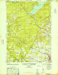
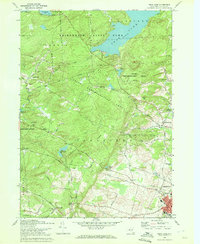
1946 Peck Lake
Fulton County, NY
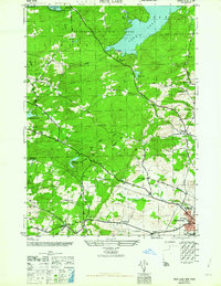
1962 Peck Lake
Fulton County, NY
1970 Broadalbin
Fulton County, NY
1970 Jackson Summit
Fulton County, NY
1970 Northville
Fulton County, NY
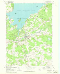
1970 Peck Lake
Fulton County, NY
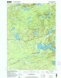
1997 Canada Lake
Fulton County, NY