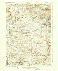
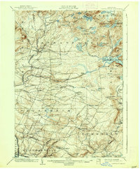
1903 Map of Lassellsville
USGS Topo · Published 1933About this map
St. Johnsville and its Upper St. Johnsville counterpart anchor the southern edge of this landscape, situated along the N. Y. C. and H. R. R. R. corridor. The geography transitions from the industrial activity along the river valley into a upland interior defined by early agricultural pockets and small mill sites. The prevalence of named corners and mills, such as Newkirk Mills and Fical Corners, indicates a decentralized local economy where crossroads served as vital community anchors.
Find a feature on this map
99 named features on this map. Tap any name to fly to it.
Don’t see what you’re looking for? This feature index may not catch every label — zoom into the map to look around manually.
Map Details
Editions of this 1903 Lassellsville Map
6 editions found

Other maps of this area

1896 · Fonda
USGS Topo · 1:62,500

1898 · Fonda
USGS Topo · 1:62,500

1898 · Canajoharie
USGS Topo · 1:62,500

1900 · Little Falls
USGS Topo · 1:62,500

1900 · Canajoharie
USGS Topo · 1:62,500

1900 · Wilmurt
USGS Topo · 1:62,500

1901 · Lassellsville
USGS Topo · 1:62,500

1902 · Canajoharie
USGS Topo · 1:62,500

1902 · Fonda
USGS Topo · 1:62,500

1902 · Wilmurt
USGS Topo · 1:62,500