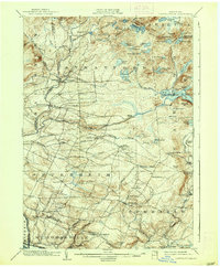
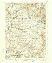
1903 Map of Lassellsville
USGS Topo · Published 1938About this map
Lassellsville and the surrounding southern Adirondack foothills appear here at the turn of the century, characterized by a transition from industrial valley towns to upland wilderness. The landscape is defined by the drainage of Moose Creek, Middle Sprite, and the East Canada Creek system, which historically powered numerous small-scale operations. Evidence of early settlement patterns remains visible in places like Glasgow Mills and Newkirk Mills, while higher elevations in the north are dominated by an intricate network of water bodies such as Canada Lake, Spectacle Lakes, and Ayres Lake. Genealogists may find value in the specific naming of crossroads and hamlets like Irish Settlement, Phipps Cors., and Dempster Corners, many of which have shifted in prominence since the 1901 survey. The terrain rises sharply from the Mohawk Valley toward peaks like Royal Hill and Rooster Hill, marking the edge of the Adirondack wilderness.
Find a feature on this map
91 named features on this map. Tap any name to fly to it.
Don’t see what you’re looking for? This feature index may not catch every label — zoom into the map to look around manually.
Map Details
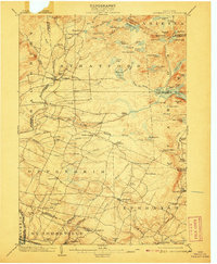
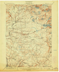
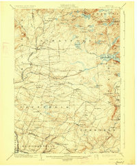
Editions of this 1903 Lassellsville Map
6 editions found

Other maps of this area

1896 · Fonda
USGS Topo · 1:62,500

1898 · Fonda
USGS Topo · 1:62,500

1898 · Canajoharie
USGS Topo · 1:62,500

1900 · Little Falls
USGS Topo · 1:62,500

1900 · Canajoharie
USGS Topo · 1:62,500

1900 · Wilmurt
USGS Topo · 1:62,500

1901 · Lassellsville
USGS Topo · 1:62,500

1902 · Canajoharie
USGS Topo · 1:62,500

1902 · Fonda
USGS Topo · 1:62,500

1902 · Wilmurt
USGS Topo · 1:62,500