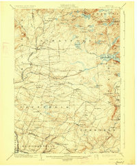
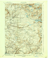
1903 Map of Lassellsville
USGS Topo · Published 1927About this map
St.Johnsville and the N.Y.C. and H.R.R.R. corridor anchor the southern edge of this landscape, where industrial activity met the rugged geography of the Adirondack foothills. Moving north, the terrain transitions into a complex network of upland settlements and water-powered industry, evidenced by Newkirk Mills and Glasgow Mills along the East Canada Creek watershed. Genealogists will find a wealth of named locales such as Irish Settlement, Dempster Corners, and Fical Corners, which illustrate the dense pattern of rural neighborhood centers established by the turn of the century.
Find a feature on this map
98 named features on this map. Tap any name to fly to it.
Don’t see what you’re looking for? This feature index may not catch every label — zoom into the map to look around manually.
Map Details
Editions of this 1903 Lassellsville Map
6 editions found

Other maps of this area

1896 · Fonda
USGS Topo · 1:62,500

1898 · Fonda
USGS Topo · 1:62,500

1898 · Canajoharie
USGS Topo · 1:62,500

1900 · Little Falls
USGS Topo · 1:62,500

1900 · Canajoharie
USGS Topo · 1:62,500

1900 · Wilmurt
USGS Topo · 1:62,500

1901 · Lassellsville
USGS Topo · 1:62,500

1902 · Canajoharie
USGS Topo · 1:62,500

1902 · Fonda
USGS Topo · 1:62,500

1902 · Wilmurt
USGS Topo · 1:62,500