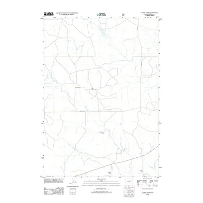
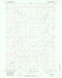
2012 Map of Lassen Creek
USGS Topo · Published 2012About this map
The ranching heritage of Weston County is prominently displayed across this high-plains landscape, where family-named operations like Cummings Ranch and Patton Ranch anchor the territory. The region is defined by a dendritic network of drainage systems, most notably the seasonal flow of Mush Cr and Lassen Cr, which carve their way through the terrain toward the east. This 2012 survey illustrates the sparse, deliberate layout of rural Wyoming infrastructure, where long stretches of unpaved access ways such as Mush Creek Rd and Howard Rd connect isolated homesteads.
Find a feature on this map
14 named features on this map. Tap any name to fly to it.
Don’t see what you’re looking for? This feature index may not catch every label — zoom into the map to look around manually.
Map Details
Editions of this 2012 Lassen Creek Map
This is the sole edition of this map. No revisions or reprints were ever made.
Other maps of this area

1899 · Newcastle
USGS Topo · 1:125,000

1901 · Newcastle
USGS Topo · 1:125,000

1955 · Newcastle
USGS Topo · 1:250,000

1958 · Newcastle
USGS Topo · 1:250,000
1972 · Osage
USGS Topo · 1:24,000
1972 · Klodt Reservoir
USGS Topo · 1:24,000

1979 · Newcastle
USGS Topo · 1:100,000

1982 · Clareton
USGS Topo · 1:24,000
1982 · Sheep Canyon Creek West
USGS Topo · 1:24,000
1982 · Timber Creek
USGS Topo · 1:24,000