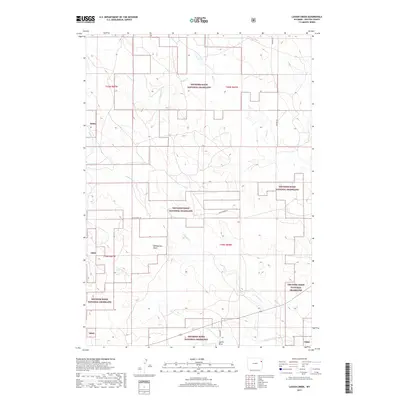
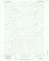
2017 Map of Lassen Creek
USGS Topo · Published 2017About this map
Thunder Basin National Grassland encompasses a significant portion of this Weston County landscape, where the high plains are dissected by a complex network of ephemeral watercourses. The drainage patterns of Lassen Cr and Mush Cr illustrate the subtle but essential topography of the eastern Wyoming ranchlands. The road system, including Mush Creek Rd and Howard Rd, follows the natural contours of the land, providing access to remote sections of the grassland and private holdings. Notable terrain features like Williamson Draw and Statler Draw provide historical context for the movement of livestock and early surveying efforts in the region. This 2017 study reflects the modern management of public lands while preserving the original township and range designations that have defined the area's geography since the initial settlement period.
Find a feature on this map
16 named features on this map. Tap any name to fly to it.
Don’t see what you’re looking for? This feature index may not catch every label — zoom into the map to look around manually.
Map Details
Editions of this 2017 Lassen Creek Map
This is the sole edition of this map. No revisions or reprints were ever made.
Other maps of this area

1899 · Newcastle
USGS Topo · 1:125,000

1901 · Newcastle
USGS Topo · 1:125,000

1955 · Newcastle
USGS Topo · 1:250,000

1958 · Newcastle
USGS Topo · 1:250,000
1972 · Osage
USGS Topo · 1:24,000
1972 · Klodt Reservoir
USGS Topo · 1:24,000

1979 · Newcastle
USGS Topo · 1:100,000

1982 · Clareton
USGS Topo · 1:24,000
1982 · Sheep Canyon Creek West
USGS Topo · 1:24,000
1982 · Timber Creek
USGS Topo · 1:24,000