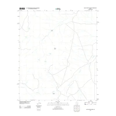
2012 Map of Last Chance Mesa
USGS Topo · Published 2012About this map
Last Chance Mesa stands as the central landmark in this portion of Jeff Davis County, overlooking a landscape defined by seasonal drainages and essential water-catchment features. The terrain is marked by deep incisions such as Hatch Canyon and the prominent Musquiz Canyon to the south. Historically significant for ranching operations in this arid region, the map documents numerous named livestock tanks including Duck Tank, Amistad Tank, and the uniquely named Herradura Tank. These man-made features, alongside natural waterways like Musquiz Cr and Black Cr, provide a clear record of the water management necessary for survival and industry in the Trans-Pecos. The network of light-duty and unimproved roads reveals the sparse, high-desert connectivity of the area as it existed in the early twenty-first century.
Find a feature on this map
11 named features on this map. Tap any name to fly to it.
Don’t see what you’re looking for? This feature index may not catch every label — zoom into the map to look around manually.
Map Details
Editions of this 2012 Last Chance Mesa Map
This is the sole edition of this map. No revisions or reprints were ever made.
Other maps of this area

1894 · Fort Davis
USGS Topo · 1:125,000

1895 · Alpine
USGS Topo · 1:125,000

1897 · Fort Davis
USGS Topo · 1:125,000

1923 · Altuda
USGS Topo · 1:62,500

1929 · Hovey
USGS Topo · 1:125,000

1954 · Fort Stockton
USGS Topo · 1:250,000

1958 · Fort Stockton
USGS Topo · 1:250,000

1972 · Alpine North
USGS Topo · 1:24,000

1972 · Elam Mountain
USGS Topo · 1:24,000

1973 · Fort Stockton
USGS Topo · 1:250,000