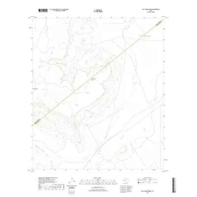
2019 Map of Last Chance Mesa
USGS Topo · Published 2019About this map
Last Chance Mesa dominates the high ground of the West Texas interior, marking a sharp topographic boundary in a region defined by ephemeral water sources and deep drainage cuts. The landscape is carved by a network of seasonal watercourses and prominent relief features, including the broad reaches of Hatch Canyon and the winding path of Hatch Canyon Draw. These features demonstrate the erosive power of the high desert environment, where drainage systems like Deep Canyon and Musquiz Canyon intersect the higher plateaus.
Find a feature on this map
14 named features on this map. Tap any name to fly to it.
Don’t see what you’re looking for? This feature index may not catch every label — zoom into the map to look around manually.
Map Details
Editions of this 2019 Last Chance Mesa Map
This is the sole edition of this map. No revisions or reprints were ever made.
Other maps of this area

1894 · Fort Davis
USGS Topo · 1:125,000

1895 · Alpine
USGS Topo · 1:125,000

1897 · Fort Davis
USGS Topo · 1:125,000

1923 · Altuda
USGS Topo · 1:62,500

1929 · Hovey
USGS Topo · 1:125,000

1954 · Fort Stockton
USGS Topo · 1:250,000

1958 · Fort Stockton
USGS Topo · 1:250,000

1972 · Alpine North
USGS Topo · 1:24,000

1972 · Elam Mountain
USGS Topo · 1:24,000

1973 · Fort Stockton
USGS Topo · 1:250,000