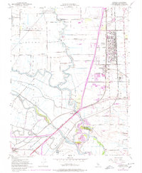
1952 Map of Lathrop
USGS Topo · Published 1977About this map
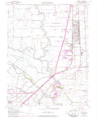
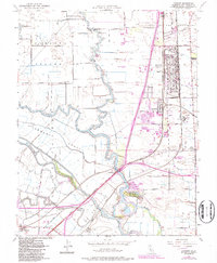
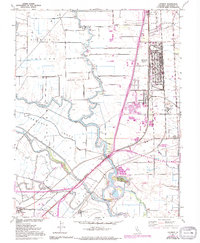
Sharpe General Depot dominates the northeastern landscape of this San Joaquin County survey, representing a significant military presence just outside of Lathrop. The map details a complex hydraulic environment defined by the meandering San Joaquin River and the winding channels of Tom Paine Slough, Walthall Slough, and Old River. These waterways segment the land into distinct tracts such as Roberts Island, Stewart Tract, and Pescadero (Grimes), where numerous pumps and levees indicate an intensive managed drainage system for agriculture.
Find a feature on this map
41 named features on this map. Tap any name to fly to it.
Don’t see what you’re looking for? This feature index may not catch every label — zoom into the map to look around manually.
Map Details
Editions of this 1952 Lathrop Map
8 editions found

Other maps of this area

1913 · Stockton
USGS Topo · 1:31,680

1913 · Holt
USGS Topo · 1:31,680

1914 · Burnham
USGS Topo · 1:31,680

1914 · Manteca
USGS Topo · 1:31,680

1914 · Union Island
USGS Topo · 1:31,680

1915 · Vernalis
USGS Topo · 1:31,680

1915 · Lathrop
USGS Topo · 1:31,680

1915 · Ripon
USGS Topo · 1:31,680

1916 · Tracy
USGS Topo · 1:31,680

1922 · Carbona
USGS Topo · 1:62,500