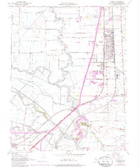
1952 Map of Lathrop
USGS Topo · Published 1985About this map
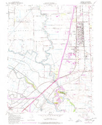
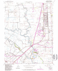
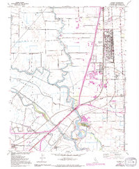
The Sharpe General Depot dominates the eastern landscape of this San Joaquin Valley survey, illustrating the significant military and logistics presence near Lathrop during the mid-century era. The terrain is defined by the intricate waterways of the Delta, including the San Joaquin River, Old River, and the reclaimed lands of Roberts Island and the Stewart Tract. These agricultural tracts are protected by an extensive levee system and serviced by the Southern Pacific and Western Pacific railroads, which intersect at this critical transportation junction.
Find a feature on this map
41 named features on this map. Tap any name to fly to it.
Don’t see what you’re looking for? This feature index may not catch every label — zoom into the map to look around manually.
Map Details
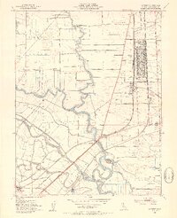
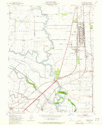
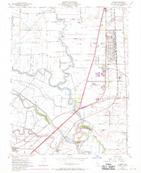
Editions of this 1952 Lathrop Map
8 editions found

Other maps of this area

1913 · Stockton
USGS Topo · 1:31,680

1913 · Holt
USGS Topo · 1:31,680

1914 · Burnham
USGS Topo · 1:31,680

1914 · Manteca
USGS Topo · 1:31,680

1914 · Union Island
USGS Topo · 1:31,680

1915 · Vernalis
USGS Topo · 1:31,680

1915 · Lathrop
USGS Topo · 1:31,680

1915 · Ripon
USGS Topo · 1:31,680

1916 · Tracy
USGS Topo · 1:31,680

1922 · Carbona
USGS Topo · 1:62,500