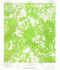
1965 Map of Laurel Hill
USGS Topo · Published 1966About this map
Woodlawn Plantation and Laurel Hill Plantation sit north of the small community of Laurel Hill, marking a landscape in West Feliciana Parish where the agricultural past meets the mid-century infrastructure of the Illinois Central railroad. The terrain is defined by the branching waterways of Thompson Creek, including its West Fork and Middle Fork, which carve through the wooded hills. Genealogists will find a high density of family-named burial sites such as Richardson Cem, McCausland Cem, and Spillman Cem, alongside localized community centers like the Polk-Rosenwald Sch and several country churches including St Mary Ch and New Hope Ch. The southern portion of the map is anchored by the settlement of Wakefield, where numerous gravel pits suggest a shift toward industrial resource extraction during the 1960s.
Find a feature on this map
38 named features on this map. Tap any name to fly to it.
Don’t see what you’re looking for? This feature index may not catch every label — zoom into the map to look around manually.
Map Details
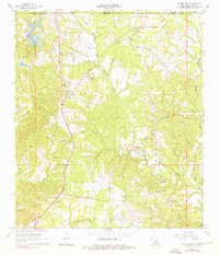
Editions of this 1965 Laurel Hill Map
2 editions found
Other maps of this area

1906 · Bayou Sara
USGS Topo · 1:125,000

1936 · Woodville
USGS Topo · 1:62,500

1939 · St. Francisville
USGS Topo · 1:62,500

1941 · Lost Creek
USGS Topo · 1:31,680

1945 · Jackson
USGS Topo · 1:31,680

1945 · Lost Creek
USGS Topo · 1:31,680

1953 · Natchez
USGS Topo · 1:250,000

1954 · Elm Park
USGS Topo · 1:24,000
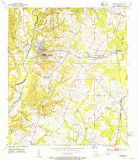
1954 · Jackson
USGS Topo · 1:24,000

1954 · Baton Rouge
USGS Topo · 1:250,000