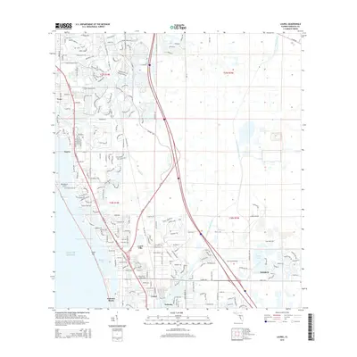
2015 Map of Laurel
USGS Topo · Published 2015About this map
The Intracoastal Waterway and the Gulf of Mexico define the western edge of this coastal landscape, where the barrier island of Casey Key shields a series of narrow estuaries. These waters, including Dryman Bay and Blackburn Bay, served as the focal point for early development in communities like Osprey and Blackburn Point. Inland, the terrain is shaped by the drainage of South Creek and Fox Creek, as well as the significant engineering of the Cow Pen Slough Canal to the east.
Find a feature on this map
38 named features on this map. Tap any name to fly to it.
Don’t see what you’re looking for? This feature index may not catch every label — zoom into the map to look around manually.
Map Details
Editions of this 2015 Laurel Map
This is the sole edition of this map. No revisions or reprints were ever made.
Other maps of this area

1943 · Laurel
USGS Topo · 1:24,000

1944 · Bird Keys
USGS Topo · 1:31,680

1944 · Sarasota
USGS Topo · 1:31,680

1944 · Lower Myakka Lake
USGS Topo · 1:31,680

1944 · Myakka River
USGS Topo · 1:31,680

1944 · Laurel
USGS Topo · 1:31,680

1944 · Venice
USGS Topo · 1:31,680

1944 · Miakka
USGS Topo · 1:31,680

1947 · Bee Ridge
USGS Topo · 1:24,000

1956 · Tampa
USGS Topo · 1:250,000