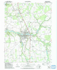
1992 Map of Laurel
USGS Topo · Published 1992About this map
Laurel serves as the focal point of this Sussex County landscape, situated along the banks of Broad Creek as it flows toward the west. The town’s social and civic layout is defined by its educational and religious institutions, including Central Sch, St Matthew Ch, and the extensive Laurel Hill Cem and Odd Fellows Cem. The Delaware RR cuts a north-south path through the center of town, reflecting the long-standing transport corridor that shaped this region's development.
Find a feature on this map
73 named features on this map. Tap any name to fly to it.
Don’t see what you’re looking for? This feature index may not catch every label — zoom into the map to look around manually.
Map Details
Editions of this 1992 Laurel Map
This is the sole edition of this map. No revisions or reprints were ever made.
Other maps of this area

1901 · Salisbury
USGS Topo · 1:62,500

1902 · Pittsville
USGS Topo · 1:62,500
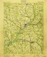
1915 · Seaford
USGS Topo · 1:62,500

1917 · Millsboro
USGS Topo · 1:62,500

1938 · Millsboro
USGS Topo · 1:62,500
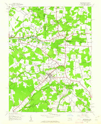
1942 · Hebron
USGS Topo · 1:24,000
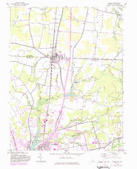
1942 · Delmar
USGS Topo · 1:24,000
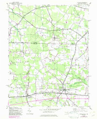
1942 · Pittsville
USGS Topo · 1:24,000
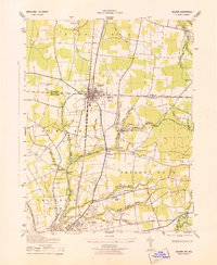
1943 · Delmar
USGS Topo · 1:31,680
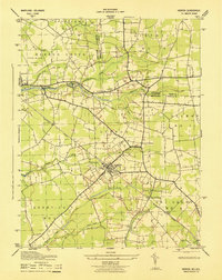
1943 · Hebron
USGS Topo · 1:31,680