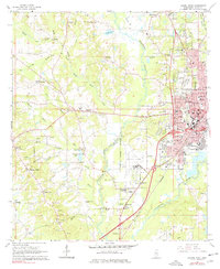
1964 Map of Laurel West
USGS Topo · Published 1978About this map
The industrial and educational hub of Laurel serves as the focal point of this 1960s study, revealing a landscape where urban expansion meets the rural timber and clay lands of Jones County. The city's eastern edge is dense with community infrastructure, including Watkins High Sch, Southeastern Baptist College, and the Laurel Cemetery. Beyond the Laurel corporate boundary, the land transitions into a network of small settlements and family landmarks such as Pendorff, Calhoun, and Buffalo Hill.
Find a feature on this map
84 named features on this map. Tap any name to fly to it.
Don’t see what you’re looking for? This feature index may not catch every label — zoom into the map to look around manually.
Map Details
Editions of this 1964 Laurel West Map
3 editions found
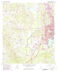
Other maps of this area

1953 · Hattiesburg
USGS Topo · 1:250,000

1958 · Hattiesburg
USGS Topo · 1:250,000

1964 · Moss
USGS Topo · 1:24,000

1964 · Sandersville
USGS Topo · 1:24,000

1964 · Laurel East
USGS Topo · 1:24,000

1964 · Laurel West
USGS Topo · 1:24,000

1964 · Ellisville
USGS Topo · 1:24,000

1964 · Lanham
USGS Topo · 1:24,000

1965 · Hebron
USGS Topo · 1:24,000

1965 · Moselle
USGS Topo · 1:24,000