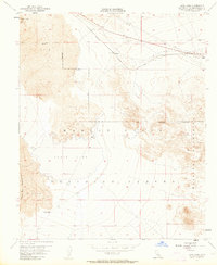
1955 Map of Lavic Lake
USGS Topo · Published 1963About this map
Pisgah Crater stands as a prominent landmark in this desert landscape, overlooking a wide expanse of Lava that stretches toward the Lavic Lake bed. The infrastructure of the mid-1950s is defined by the heavy rail presence of the Atchison Topeka and Santa Fe railroad, which services the small stops at Lavic and Argos. This rail line is paralleled by a Pipe Line and the historic route 66, marking a vital transportation corridor through the Mojave.
Find a feature on this map
22 named features on this map. Tap any name to fly to it.
Don’t see what you’re looking for? This feature index may not catch every label — zoom into the map to look around manually.
Map Details
Editions of this 1955 Lavic Lake Map
3 editions found
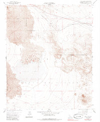
Other maps of this area

1953 · San Bernardino
USGS Topo · 1:250,000

1954 · Galway Lake
USGS Topo · 1:24,000

1955 · Ludlow
USGS Topo · 1:24,000

1955 · Lavic SE
USGS Topo · 1:24,000

1955 · Morgans Well
USGS Topo · 1:24,000

1955 · Sunshine Peak
USGS Topo · 1:24,000

1955 · Lavic Lake
USGS Topo · 1:24,000

1955 · Lavic
USGS Topo · 1:62,500

1955 · Cady Mountains
USGS Topo · 1:62,500

1955 · Broadwell Lake
USGS Topo · 1:62,500