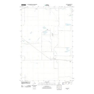
2010 Map of Lawler
USGS Topo · Published 2010About this map
Lawler serves as the primary hub of this Aitkin County landscape, situated where County Hwy-13 meets the Soo Line Trl. The map reflects a community deeply tied to its heritage, as evidenced by several localized burial grounds including Finnish Apostolic Cemetery, Salo Cemetery, and Sheriff Lake Cemetery. These sites, along with the Grayling Cemetery to the north, offer valuable clues for genealogists researching the Scandinavian and European settler history of the region.
Find a feature on this map
37 named features on this map. Tap any name to fly to it.
Don’t see what you’re looking for? This feature index may not catch every label — zoom into the map to look around manually.
Map Details
Editions of this 2010 Lawler Map
This is the sole edition of this map. No revisions or reprints were ever made.
Other maps of this area

1953 · Duluth
USGS Topo · 1:250,000

1958 · Duluth
USGS Topo · 1:250,000

1969 · Thor NE
USGS Topo · 1:24,000

1969 · Split Rock Lake
USGS Topo · 1:24,000

1969 · Ronald
USGS Topo · 1:24,000

1969 · Automba
USGS Topo · 1:24,000

1969 · Lawler
USGS Topo · 1:24,000

1970 · Mc Gregor
USGS Topo · 1:24,000

1970 · Tamarack
USGS Topo · 1:24,000

1970 · Wright
USGS Topo · 1:24,000