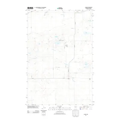
2013 Map of Lawler
USGS Topo · Published 2013About this map
Lawler sits at the heart of this Aitkin County landscape, where the drainage of Wakefield Brook and the Sandy River winds through a complex terrain of glacial lakes and wetlands. The map reveals a distinct cultural imprint defined by small, community-centered burial grounds such as the Finnish Apostolic Cem and Salo Cem, reflecting the area's heritage. A network of local roads like Kestrel Ave and 360th St connects the settlement to surrounding natural features, including the prominent Sheriff Lake and the smaller, tucked-away Starvation Lake. To the east, the Lawler Lookout Tower stands as a focal point for forest management and local geography. The distribution of sites like the Grayling Cem and Sheriff Lake Cem suggests a history of localized rural clusters established long before modern consolidation.
Find a feature on this map
33 named features on this map. Tap any name to fly to it.
Don’t see what you’re looking for? This feature index may not catch every label — zoom into the map to look around manually.
Map Details
Editions of this 2013 Lawler Map
This is the sole edition of this map. No revisions or reprints were ever made.
Other maps of this area

1953 · Duluth
USGS Topo · 1:250,000

1958 · Duluth
USGS Topo · 1:250,000

1969 · Thor NE
USGS Topo · 1:24,000

1969 · Split Rock Lake
USGS Topo · 1:24,000

1969 · Ronald
USGS Topo · 1:24,000

1969 · Automba
USGS Topo · 1:24,000

1969 · Lawler
USGS Topo · 1:24,000

1970 · Mc Gregor
USGS Topo · 1:24,000

1970 · Tamarack
USGS Topo · 1:24,000

1970 · Wright
USGS Topo · 1:24,000