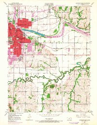
1950 Map of Lawrence East
USGS Topo · Published 1968About this map
The University of Kansas and the historic Haskell Institute anchor the western edge of this mid-century survey of Lawrence. This map documents a period of significant growth, with red-tinted urban areas expanding eastward from the city center toward the Kansas River and south past South Park. The landscape is a complex mix of educational campuses, older neighborhoods served by the Lincoln Sch and New York Sch, and industrial sites like Bismarck Grove along the Union Pacific tracks. Further south, the terrain transitions into the winding bottomlands of the Wakarusa River and the prominent rise of Blue Mound, where rural schoolhouses like India Sch still served outlying communities. The arrival of the Kansas Turnpike across the northern section signals the shifting transportation patterns of the late 1960s, contrasting with the established routes of the Atchison Topeka and Santa Fe railroad.
Find a feature on this map
35 named features on this map. Tap any name to fly to it.
Don’t see what you’re looking for? This feature index may not catch every label — zoom into the map to look around manually.
Map Details
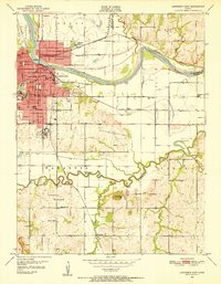
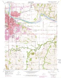
Editions of this 1950 Lawrence East Map
4 editions found
Other maps of this area

1885 · Lawrence
USGS Topo · 1:125,000

1886 · Oskaloosa
USGS Topo · 1:125,000

1888 · Oskaloosa
USGS Topo · 1:125,000

1889 · Lawrence
USGS Topo · 1:125,000

1894 · Oskaloosa
USGS Topo · 1:125,000

1947 · Lawrence
USGS Topo · 1:250,000

1949 · Williamstown
USGS Topo · 1:24,000

1950 · Kansas City
USGS Topo · 1:250,000

1950 · Williamstown
USGS Topo · 1:24,000

1950 · Lawrence
USGS Topo · 1:250,000