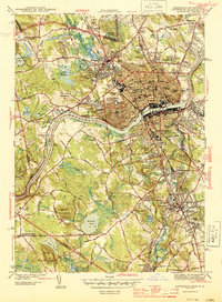
1944 Map of Lawrence
USGS Topo · Published 1944About this map
The Merrimack River serves as the industrial and geographic anchor of this mid-century survey, flanked by the dense urban grids of Lawrence and Methuen. In the years following the mobilization of the early 1940s, the landscape shows a complex integration of textiles and transport, with the Boston and Maine RR and the Merrimack Turnpike providing essential connections. While the riverfront is defined by mills and civic institutions like the Court House and General Hospital, the surrounding hills are dotted with a remarkable concentration of ethnic and religious burial grounds, including the Lithuanian Cem, Polish Cem, and Sts Peter & Paul Cem. South of the river, Shawsheen Village and Andover present a more planned residential character, featuring prominent educational landmarks such as Abbot Academy and the Punchard High Sch. From the Lawrence Municipal Airport in the east to the Town Farm in the west, this map captures the region's height as a manufacturing powerhouse.
Find a feature on this map
114 named features on this map. Tap any name to fly to it.
Don’t see what you’re looking for? This feature index may not catch every label — zoom into the map to look around manually.
Map Details
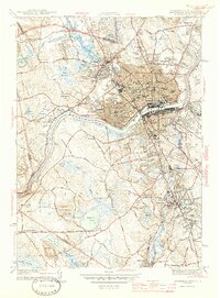
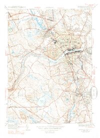
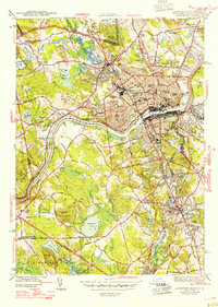
Editions of this 1944 Lawrence Map
4 editions found
Other maps of this area

1886 · Lawrence
USGS Topo · 1:62,500

1886 · Lowell
USGS Topo · 1:62,500

1888 · Haverhill
USGS Topo · 1:62,500

1888 · Lawrence
USGS Topo · 1:62,500

1890 · Haverhill
USGS Topo · 1:62,500

1893 · Lowell
USGS Topo · 1:62,500

1893 · Lawrence
USGS Topo · 1:62,500

1893 · Haverhill
USGS Topo · 1:62,500

1905 · Manchester
USGS Topo · 1:62,500

1918 · Lowell
USGS Topo · 1:62,500