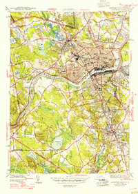
1944 Map of Lawrence
USGS Topo · Published 1947About this map
The Merrimack River serves as the industrial and geographic anchor for this mid-1940s survey of one of New England’s premier textile hubs. In Lawrence, the dense grid of streets radiates from the Court House and County Jail, crossing the water into South Lawrence and extending toward the planned community of Shawsheen Village. The map captures the region’s institutional depth, showing the sprawling grounds of Phillips Academy and St Annes Orphanage, alongside the Lawrence Municipal Airport and the Radio Sta WLAW site. Beyond the urban core, the landscape transitions into the residential and academic corridors of Andover and the mill-driven character of Ballardvale. To the north, Methuen is defined by its distinct hills, such as Tower Hill and Daddy Frye Hill, while the Boston and Maine RR network facilitates the heavy transit requirements of the Merrimack Valley’s manufacturing era.
Find a feature on this map
92 named features on this map. Tap any name to fly to it.
Don’t see what you’re looking for? This feature index may not catch every label — zoom into the map to look around manually.
Map Details
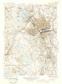
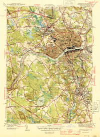
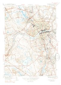
Editions of this 1944 Lawrence Map
4 editions found
Other maps of this area

1886 · Lawrence
USGS Topo · 1:62,500

1886 · Lowell
USGS Topo · 1:62,500

1888 · Haverhill
USGS Topo · 1:62,500

1888 · Lawrence
USGS Topo · 1:62,500

1890 · Haverhill
USGS Topo · 1:62,500

1893 · Lowell
USGS Topo · 1:62,500

1893 · Lawrence
USGS Topo · 1:62,500

1893 · Haverhill
USGS Topo · 1:62,500

1905 · Manchester
USGS Topo · 1:62,500

1918 · Lowell
USGS Topo · 1:62,500