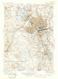
1944 Map of Lawrence
USGS Topo · Published 1944About this map
Industrial and academic centers converge along the Merrimack River in this mid-century survey. The dense urban core of Lawrence is meticulously detailed, showing the County Jail, Court House, and the sprawling residential districts of South Lawrence and Mt Vernon Park. The map captures the significant concentration of Catholic institutions in the area, including St Marys Cem and St Annes Orphanage. To the south, the academic landscape of Andover is anchored by Phillips Academy and Abbot Academy.
Find a feature on this map
123 named features on this map. Tap any name to fly to it.
Don’t see what you’re looking for? This feature index may not catch every label — zoom into the map to look around manually.
Map Details
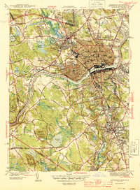
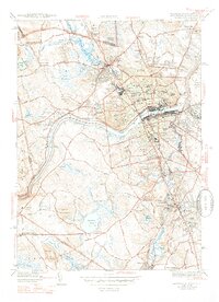
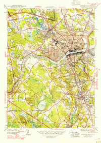
Editions of this 1944 Lawrence Map
4 editions found
Other maps of this area

1886 · Lawrence
USGS Topo · 1:62,500

1886 · Lowell
USGS Topo · 1:62,500

1888 · Haverhill
USGS Topo · 1:62,500

1888 · Lawrence
USGS Topo · 1:62,500

1890 · Haverhill
USGS Topo · 1:62,500

1893 · Lowell
USGS Topo · 1:62,500

1893 · Lawrence
USGS Topo · 1:62,500

1893 · Haverhill
USGS Topo · 1:62,500

1905 · Manchester
USGS Topo · 1:62,500

1918 · Lowell
USGS Topo · 1:62,500