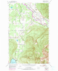
1952 Map of Lawrence
USGS Topo · Published 1990About this map
Nooksack River valley life in the early 1950s is defined by the intersection of small agricultural settlements and the infrastructure of the timber and rail industries. The map shows a landscape transitioning from the river lowlands where Lawrence and Cedarville sit, up into the higher timbered reaches of Sumas Mtn and Squalicum Mtn. These hills are marked by active resource extraction, including a Mine located on the slopes above the river, and the descent of Olsen Creek toward the northern shores of Lake Whatcom.
Find a feature on this map
51 named features on this map. Tap any name to fly to it.
Don’t see what you’re looking for? This feature index may not catch every label — zoom into the map to look around manually.
Map Details
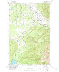
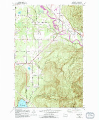
Editions of this 1952 Lawrence Map
4 editions found
Other maps of this area

1906 · Sumas
USGS Topo · 1:62,500

1908 · Sumas
USGS Topo · 1:62,500

1918 · Samish Lake
USGS Topo · 1:62,500

1919 · Van Zandt
USGS Topo · 1:62,500

1921 · Wickersham
USGS Topo · 1:62,500

1951 · Wickersham
USGS Topo · 1:62,500

1951 · Van Zandt
USGS Topo · 1:62,500

1952 · Lake Whatcom
USGS Topo · 1:24,000

1952 · Lynden
USGS Topo · 1:24,000

1952 · Lawrence
USGS Topo · 1:24,000