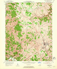
1954 Map of Lawrenceburg
USGS Topo · Published 1965About this map
Lawrenceburg serves as the focal point of this mid-century topographic study, showing the city's concentrated street grid at the intersection of the Southern railroad and regional thoroughfares. The surrounding Anderson County landscape is characterized by its agricultural character and rolling hills, punctuated by community anchors like the County High Sch and the Fairgrounds. Small, rural settlements such as Alton Station, Avenstoke, and Ninevah are connected by a network of winding roads including Wieson Road and Hammond Road.
Find a feature on this map
30 named features on this map. Tap any name to fly to it.
Don’t see what you’re looking for? This feature index may not catch every label — zoom into the map to look around manually.
Map Details
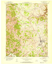
Editions of this 1954 Lawrenceburg Map
2 editions found
Other maps of this area

1905 · Harrodsburg
USGS Topo · 1:125,000

1922 · Frankfort
USGS Topo · 1:48,000

1923 · Waddy
USGS Topo · 1:48,000

1924 · Frankfort
USGS Topo · 1:62,500

1925 · Mount Eden
USGS Topo · 1:48,000

1927 · Mount Eden
USGS Topo · 1:62,500

1951 · Lawrenceburg
USGS Topo · 1:24,000

1952 · Ashbrook
USGS Topo · 1:24,000

1952 · Salvisa
USGS Topo · 1:24,000

1952 · Mc Brayer
USGS Topo · 1:24,000