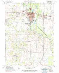
1965 Map of Lawrenceville
USGS Topo · Published 1966About this map
Lawrenceville serves as a critical junction for mid-century commerce and transportation, where the Baltimore and Ohio and New York Central railroads intersect near the center of town. This 1960s landscape is defined by the winding course of the Embarras River and its Old Channel, which separate the industrial developments of the north from the agricultural expanses of Denison township. A large Refinery south of the city center highlights the region's industrial base, while the local civic heart is anchored by the Courthouse and City Hall.
Find a feature on this map
40 named features on this map. Tap any name to fly to it.
Don’t see what you’re looking for? This feature index may not catch every label — zoom into the map to look around manually.
Map Details
Editions of this 1965 Lawrenceville Map
2 editions found
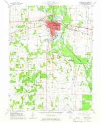
Other maps of this area

1910 · Hardinville
USGS Topo · 1:62,500

1911 · Sumner
USGS Topo · 1:62,500

1913 · Sumner
USGS Topo · 1:62,500

1915 · Vincennes
USGS Topo · 1:62,500

1917 · Birds
USGS Topo · 1:62,500

1942 · Birds
USGS Topo · 1:62,500

1944 · Vincennes
USGS Topo · 1:62,500

1956 · Vincennes
USGS Topo · 1:250,000

1957 · Vincennes
USGS Topo · 1:250,000

1958 · Vincennes
USGS Topo · 1:250,000