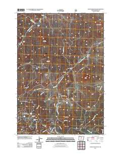
2011 Map of Lawson Mountain
USGS Topo · Published 2011About this map
Lawson Mountain and the high buttes of Wheeler County define this landscape of ranching outposts and rugged drainages. This survey captures the working character of the region through numerous named family homesteads, including Fitzgerald Ranch, Gage Ranch, and Ihrig Ranch, which are connected by primitive routes like Lost Coyote Ln and Gage Rd. The area's water sources are critical to these operations, with Heflin Spring, Beaver Spring, and Frier Spring dotting the terrain near notable topographic landmarks like Courthouse Rock and Bailey Butte. A single site of communal permanence, the West Branch Cemetery, sits near Gilchrist Butte, providing a significant touchstone for genealogists tracking the families of this high-desert territory. The network of creeks, such as West Branch Bridge Creek and Clover Creek, illustrates the seasonal hydrology that has shaped land use here for generations.
Find a feature on this map
52 named features on this map. Tap any name to fly to it.
Don’t see what you’re looking for? This feature index may not catch every label — zoom into the map to look around manually.
Map Details
Editions of this 2011 Lawson Mountain Map
This is the sole edition of this map. No revisions or reprints were ever made.
Other maps of this area

1926 · Mitchell
USGS Topo · 1:125,000

1951 · Lookout Mtn
USGS Topo · 1:62,500

1955 · Bend
USGS Topo · 1:250,000

1957 · Bend
USGS Topo · 1:250,000

1958 · Bend
USGS Topo · 1:250,000

1966 · Mt. Pisgah
USGS Topo · 1:24,000

1966 · Mitchell
USGS Topo · 1:62,500

1968 · Painted Hills
USGS Topo · 1:24,000

1968 · Lawson Mtn
USGS Topo · 1:24,000

1968 · Stephenson Mtn
USGS Topo · 1:24,000