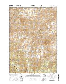
2014 Map of Lawson Mountain
USGS Topo · Published 2014About this map
The Ochoco National Forest anchors this high-elevation landscape in Wheeler County, where the topography is defined by the prominent Ochoco Mountains. This 2014 survey reveals a territory shaped by intricate drainage systems, notably Gage Cr and Carroll Cr, alongside the Lewis Ditch water conveyance. Landmarks like Lawson Mountain and the distinctive Courthouse Rock serve as significant navigational points across the terrain.
Find a feature on this map
53 named features on this map. Tap any name to fly to it.
Don’t see what you’re looking for? This feature index may not catch every label — zoom into the map to look around manually.
Map Details
Editions of this 2014 Lawson Mountain Map
This is the sole edition of this map. No revisions or reprints were ever made.
Other maps of this area

1926 · Mitchell
USGS Topo · 1:125,000

1951 · Lookout Mtn
USGS Topo · 1:62,500

1955 · Bend
USGS Topo · 1:250,000

1957 · Bend
USGS Topo · 1:250,000

1958 · Bend
USGS Topo · 1:250,000

1966 · Mt. Pisgah
USGS Topo · 1:24,000

1966 · Mitchell
USGS Topo · 1:62,500

1968 · Painted Hills
USGS Topo · 1:24,000

1968 · Lawson Mtn
USGS Topo · 1:24,000

1968 · Stephenson Mtn
USGS Topo · 1:24,000