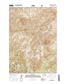
2017 Map of Lawson Mountain
USGS Topo · Published 2017About this map
Ochocho National Forest covers much of this high-elevation terrain in Wheeler County, where the landscape is defined by its numerous named peaks and volcanic-influenced landmarks. Distinctive geological features like Courthouse Rock and Gilchrist Butte stand out among the canyons and plateaus. Water resources in this arid environment are marked by named sources such as Heflin Spring, Frier Spring, and the curiously named Sheep Smother Spring.
Find a feature on this map
53 named features on this map. Tap any name to fly to it.
Don’t see what you’re looking for? This feature index may not catch every label — zoom into the map to look around manually.
Map Details
Editions of this 2017 Lawson Mountain Map
This is the sole edition of this map. No revisions or reprints were ever made.
Other maps of this area

1926 · Mitchell
USGS Topo · 1:125,000

1951 · Lookout Mtn
USGS Topo · 1:62,500

1955 · Bend
USGS Topo · 1:250,000

1957 · Bend
USGS Topo · 1:250,000

1958 · Bend
USGS Topo · 1:250,000

1966 · Mt. Pisgah
USGS Topo · 1:24,000

1966 · Mitchell
USGS Topo · 1:62,500

1968 · Painted Hills
USGS Topo · 1:24,000

1968 · Lawson Mtn
USGS Topo · 1:24,000

1968 · Stephenson Mtn
USGS Topo · 1:24,000