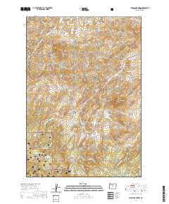
2020 Map of Lawson Mountain
USGS Topo · Published 2020About this map
Lawson Mtn and the Gage Range dominate this high-desert landscape in Wheeler County, where the southern portion of the map is defined by the Ochoco National Forest. The topography is marked by a complex system of flats and buttes, including McNeese Flat and the prominent Black Butte. For local historians, the West Branch Cem serves as a primary genealogical landmark near the headwaters of the W Br Bridge Cr. The presence of Lewis Ditch and numerous named springs like Snowshoe Spring and Heflin Spring highlights the critical importance of water management in this arid region. Ranching and land use patterns are evident in labels such as Ross Flat and Do Little Flat, while geological features like Courthouse Rock stand as distinctive navigational points within the surrounding forest and range lands.
Find a feature on this map
51 named features on this map. Tap any name to fly to it.
Don’t see what you’re looking for? This feature index may not catch every label — zoom into the map to look around manually.
Map Details
Editions of this 2020 Lawson Mountain Map
This is the sole edition of this map. No revisions or reprints were ever made.
Other maps of this area

1926 · Mitchell
USGS Topo · 1:125,000

1951 · Lookout Mtn
USGS Topo · 1:62,500

1955 · Bend
USGS Topo · 1:250,000

1957 · Bend
USGS Topo · 1:250,000

1958 · Bend
USGS Topo · 1:250,000

1966 · Mt. Pisgah
USGS Topo · 1:24,000

1966 · Mitchell
USGS Topo · 1:62,500

1968 · Painted Hills
USGS Topo · 1:24,000

1968 · Lawson Mtn
USGS Topo · 1:24,000

1968 · Stephenson Mtn
USGS Topo · 1:24,000