
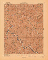
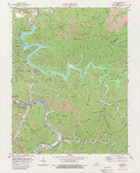
1914 Map of Laynesville
USGS Topo · Published 1914This historical map portrays the area of Laynesville in 1914, primarily covering Floyd County as well as portions of Martin, Johnson County, and Pike County. Featuring a scale of 1:48000, this map provides a highly detailed snapshot of the terrain, roads, buildings, counties, and historical landmarks in the Laynesville region at the time. Published in 1914, it is the sole known edition of this map.
Find a feature on this map
97 named features on this map. Tap any name to fly to it.
Don’t see what you’re looking for? This feature index may not catch every label — zoom into the map to look around manually.
Map Details
Editions of this 1914 Laynesville Map
This is the sole edition of this map. No revisions or reprints were ever made.
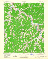
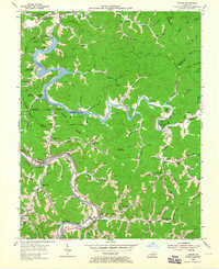
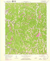
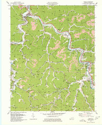
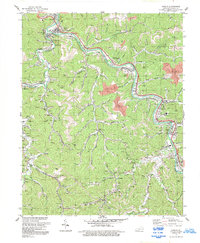
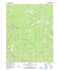
Historical Maps of Martin County Through Time
12 maps found
1914 Laynesville
Floyd County, KY
1916 Harold
Floyd County, KY
1954 Harold
Floyd County, KY
1954 Lancer
Floyd County, KY
1954 Mc Dowell
Floyd County, KY
1978 Lancer
Floyd County, KY
1979 Harold
Floyd County, KY
1992 Harold
Floyd County, KY

1992 Lancer
Floyd County, KY
1992 Mc Dowell
Floyd County, KY
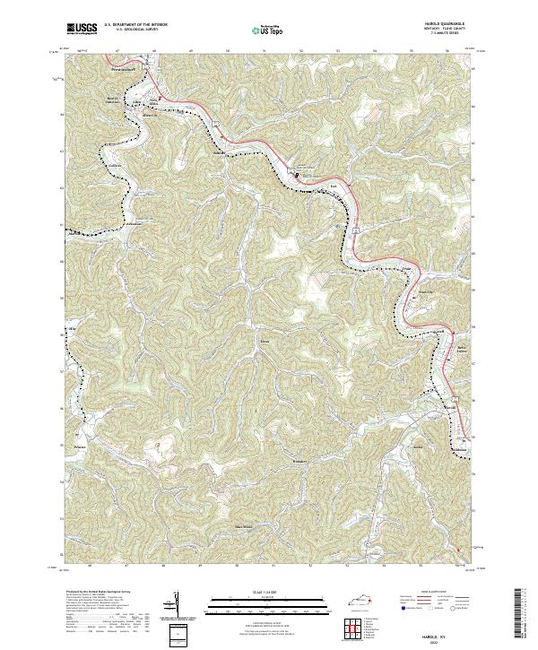
2022 Harold
Floyd County, KY
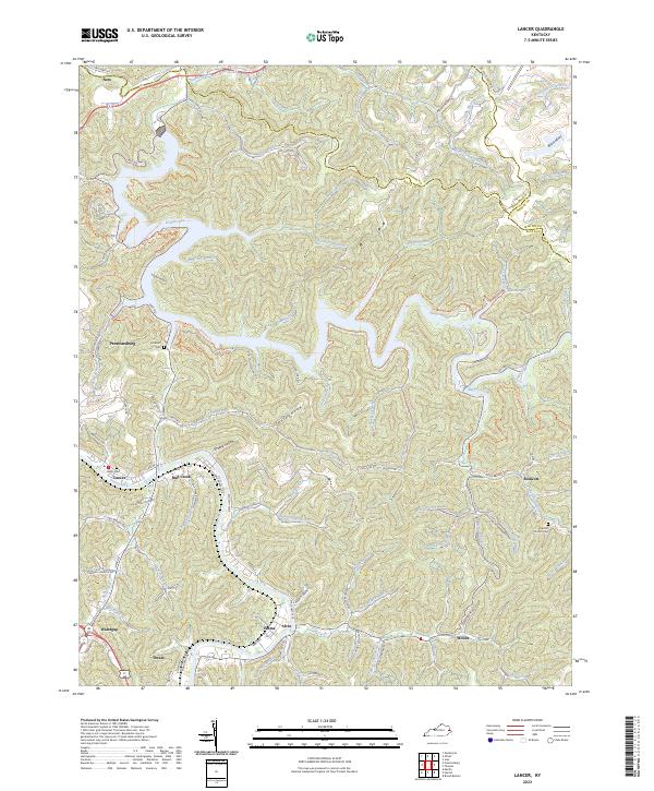
2023 Lancer
Floyd County, KY