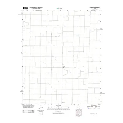
2010 Map of Lazbuddie SE
USGS Topo · Published 2010About this map
Pleasant Valley serves as the focal point for this section of the Texas Panhandle, situated within a vast grid of agricultural and farm roads. The landscape is defined by the strict geometry of the High Plains, where the road network aligns precisely with cardinal directions, including Co RD 65 and Co RD 40. A key center for local social life and organization is the Pleasant Valley Community House, located toward the southern portion of the settlement. The area's connectivity relies on a series of Farm to Market roads, such as Fm 303 and Fm 2910, which link these rural homes and agricultural tracts to the broader region. Small depressions and playa lakes dot the terrain between the intersections, reflecting the natural hydrology of the Llano Estacado.
Find a feature on this map
29 named features on this map. Tap any name to fly to it.
Don’t see what you’re looking for? This feature index may not catch every label — zoom into the map to look around manually.
Map Details
Editions of this 2010 Lazbuddie SE Map
This is the sole edition of this map. No revisions or reprints were ever made.
Other maps of this area

1954 · Clovis
USGS Topo · 1:250,000

1958 · Clovis
USGS Topo · 1:250,000

1962 · Muleshoe
USGS Topo · 1:24,000

1962 · Muleshoe NE
USGS Topo · 1:24,000

1963 · Flagg
USGS Topo · 1:24,000

1963 · Clays Corner
USGS Topo · 1:24,000

1963 · Earth
USGS Topo · 1:24,000

1963 · Lazbuddie
USGS Topo · 1:24,000

1963 · Dodd
USGS Topo · 1:24,000

1963 · Lazbuddie SW
USGS Topo · 1:24,000