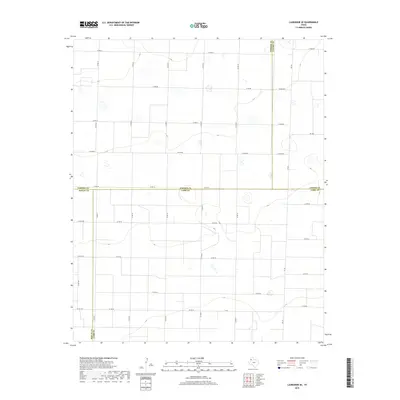
2019 Map of Lazbuddie SE
USGS Topo · Published 2019About this map
The High Plains of the Texas Panhandle meet at the intersection of four counties in this modern topographic study. The landscape is defined by the unique point where Parmer Co, Castro Co, Bailey Co, and Lamb Co converge, creating a geometric patchwork of agricultural lands and rural infrastructure. This region is characterized by its organized grid of county roads, such as Co Rd Aa and Co Rd Ee, which segment the terrain into large-scale farming blocks.
Find a feature on this map
39 named features on this map. Tap any name to fly to it.
Don’t see what you’re looking for? This feature index may not catch every label — zoom into the map to look around manually.
Map Details
Editions of this 2019 Lazbuddie SE Map
This is the sole edition of this map. No revisions or reprints were ever made.
Other maps of this area

1954 · Clovis
USGS Topo · 1:250,000

1958 · Clovis
USGS Topo · 1:250,000

1962 · Muleshoe
USGS Topo · 1:24,000

1962 · Muleshoe NE
USGS Topo · 1:24,000

1963 · Flagg
USGS Topo · 1:24,000

1963 · Clays Corner
USGS Topo · 1:24,000

1963 · Earth
USGS Topo · 1:24,000

1963 · Lazbuddie
USGS Topo · 1:24,000

1963 · Dodd
USGS Topo · 1:24,000

1963 · Lazbuddie SW
USGS Topo · 1:24,000